Distance to Devine, Texas

Calculating Your Route
Just a moment while we process your request...
Location Information
-
Full AddressDevine, TX 78016
-
Coordinates29.1399633, -98.905306
-
LocationDevine , Texas , US
-
TimezoneAmerica/Chicago
-
Current Local Time9:51:00 AM America/ChicagoMonday, May 19, 2025
-
Page Views0
About Devine
Devine is a city in Medina County, Texas, United States. The population was 4,324 at the 2020 census. It is part of the San Antonio Metropolitan Statistical Area.


Nearby Places
Found 10 places within 50 miles

Hondo
20.2 mi
32.5 km
Hondo, TX 78861
Get directions

Pearsall
20.6 mi
33.2 km
Pearsall, TX 78061
Get directions

Pleasanton
28.4 mi
45.7 km
Pleasanton, TX 78064
Get directions

Leon Valley
30.0 mi
48.3 km
Leon Valley, TX
Get directions

San Antonio
31.6 mi
50.9 km
San Antonio, TX
Get directions

Helotes
32.1 mi
51.7 km
Helotes, TX
Get directions

Lakehills
32.2 mi
51.8 km
Lakehills, TX
Get directions

Floresville
45.2 mi
72.7 km
Floresville, TX 78114
Get directions

Boerne
46.4 mi
74.7 km
Boerne, TX
Get directions

Timberwood Park
46.8 mi
75.3 km
Timberwood Park, TX
Get directions
Location Links
Local Weather
Weather Information
Coming soon!
Location Map
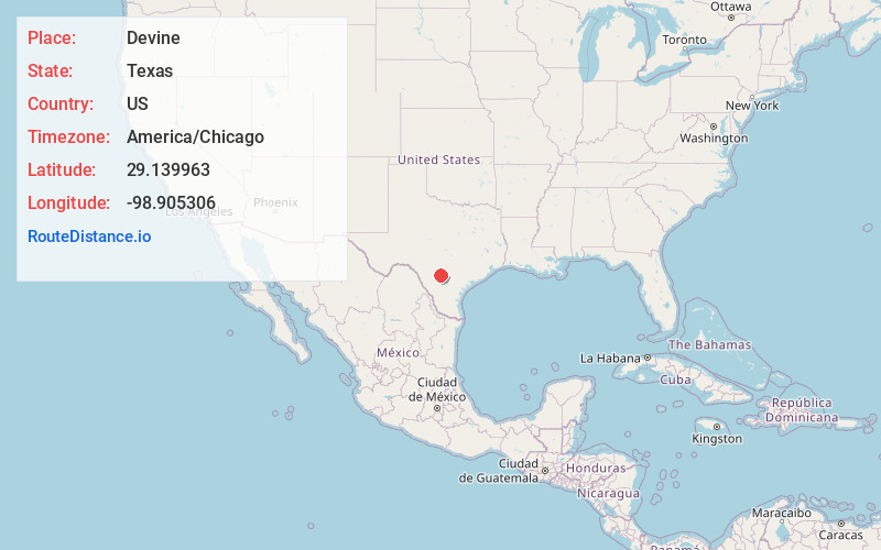
Static map view of Devine, Texas
Browse Places by Distance
Places within specific distances from Devine
Short Distances
Long Distances
Click any distance to see all places within that range from Devine. Distances shown in miles (1 mile ≈ 1.61 kilometers).