Distance to Devola, Ohio

Calculating Your Route
Just a moment while we process your request...
Location Information
-
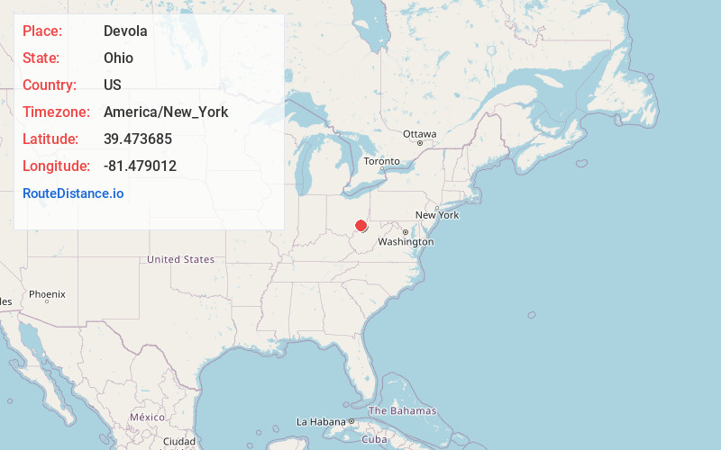
Full AddressDevola, OH 45750
-
Coordinates39.473685, -81.4790115
-
LocationDevola , Ohio , US
-
TimezoneAmerica/New_York
-
Current Local Time1:08:23 PM America/New_YorkWednesday, June 18, 2025
-
Page Views0
About Devola
Devola is a census-designated place in Washington County, Ohio, United States, along the Muskingum River. It is part of the Parkersburg-Marietta-Vienna, WV-OH Metropolitan Statistical Area. The population was 2,639 at the 2020 census.


Nearby Places
Found 10 places within 50 miles

Marietta
4.2 mi
6.8 km
Marietta, OH 45750
Get directions

Williamstown
5.3 mi
8.5 km
Williamstown, WV 26187
Get directions

Vienna
10.8 mi
17.4 km
Vienna, WV
Get directions

Belpre
14.7 mi
23.7 km
Belpre, OH 45714
Get directions

Parkersburg
15.1 mi
24.3 km
Parkersburg, WV
Get directions

Blennerhassett Island
16.1 mi
25.9 km
Blennerhassett Island, West Virginia 26101
Get directions

Paden City
30.2 mi
48.6 km
Paden City, WV
Get directions

Athens
34.7 mi
55.8 km
Athens, OH 45701
Get directions

New Martinsville
35.1 mi
56.5 km
New Martinsville, WV 26155
Get directions

The Plains
35.6 mi
57.3 km
The Plains, OH
Get directions
Location Links
Local Weather
Weather Information
Coming soon!
Location Map
Static map view of Devola, Ohio
Browse Places by Distance
Places within specific distances from Devola
Short Distances
Long Distances
Click any distance to see all places within that range from Devola. Distances shown in miles (1 mile ≈ 1.61 kilometers).