Distance to Dewey-Humboldt, Arizona

Calculating Your Route
Just a moment while we process your request...
Location Information
-
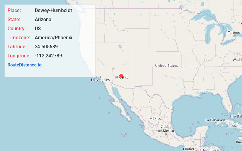
Full AddressDewey-Humboldt, AZ
-
Coordinates34.5056894, -112.2427894
-
LocationDewey-Humboldt , Arizona , US
-
TimezoneAmerica/Phoenix
-
Current Local Time2:42:48 AM America/PhoenixWednesday, June 18, 2025
-
Website
-
Page Views0
About Dewey-Humboldt
Dewey–Humboldt is a town in Yavapai County, Arizona, United States. The population of the town was 3,894 according to the 2010 census. The Dewey–Humboldt area was a census-designated place at the 2000 census, at which time its population was 3,453.


Nearby Places
Found 10 places within 50 miles

Prescott Valley
8.3 mi
13.4 km
Prescott Valley, AZ
Get directions

Prescott
13.0 mi
20.9 km
Prescott, AZ
Get directions

Cottonwood-Verde Village
19.8 mi
31.9 km
Cottonwood-Verde Village, AZ 86326
Get directions

Cottonwood
20.9 mi
33.6 km
Cottonwood, AZ
Get directions

Chino Valley
21.1 mi
34.0 km
Chino Valley, AZ
Get directions

Clarkdale
21.1 mi
34.0 km
Clarkdale, AZ
Get directions

Williamson
21.2 mi
34.1 km
Williamson, AZ
Get directions

Camp Verde
22.5 mi
36.2 km
Camp Verde, AZ 86322
Get directions

Lake Montezuma
27.9 mi
44.9 km
Lake Montezuma, AZ 86335
Get directions

Paulden
29.2 mi
47.0 km
Paulden, AZ
Get directions
Location Links
Local Weather
Weather Information
Coming soon!
Location Map
Static map view of Dewey-Humboldt, Arizona
Browse Places by Distance
Places within specific distances from Dewey-Humboldt
Short Distances
Long Distances
Click any distance to see all places within that range from Dewey-Humboldt. Distances shown in miles (1 mile ≈ 1.61 kilometers).