Distance to Dexterville, Wisconsin

Calculating Your Route
Just a moment while we process your request...
Location Information
-
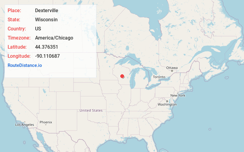
Full AddressDexterville, Dexter, WI 54466
-
Coordinates44.3763511, -90.1106871
-
LocationDexter , Wisconsin , US
-
TimezoneAmerica/Chicago
-
Current Local Time8:09:10 AM America/ChicagoMonday, June 16, 2025
-
Page Views0
About Dexterville
Dexterville is an unincorporated community in the town of Dexter, Wood County, Wisconsin, United States. It is located at the intersection of Wisconsin Highway 80 and Wisconsin Highway 54.
Nearby Places
Found 10 places within 50 miles

Dexter
1.0 mi
1.6 km
Dexter, WI
Get directions
Veedum
3.8 mi
6.1 km
Veedum, WI 54466
Get directions

Pittsville
4.4 mi
7.1 km
Pittsville, WI 54466
Get directions

Babcock
5.1 mi
8.2 km
Babcock, WI
Get directions
Cranmoor
5.7 mi
9.2 km
Cranmoor, WI 54495
Get directions
Rocky Run
6.1 mi
9.8 km
Rocky Run, Hiles, WI 54466
Get directions

Vesper
10.3 mi
16.6 km
Vesper, WI 54489
Get directions

Nekoosa
11.1 mi
17.9 km
Nekoosa, WI 54457
Get directions
Bethel
11.4 mi
18.3 km
Bethel, WI 54410
Get directions
Meadow Valley Flowage
11.7 mi
18.8 km
Meadow Valley Flowage, Kingston, WI 54466
Get directions
Location Links
Local Weather
Weather Information
Coming soon!
Location Map
Static map view of Dexterville, Wisconsin
Browse Places by Distance
Places within specific distances from Dexterville
Short Distances
Long Distances
Click any distance to see all places within that range from Dexterville. Distances shown in miles (1 mile ≈ 1.61 kilometers).