Distance to Diana, Texas

Calculating Your Route
Just a moment while we process your request...
Location Information
-
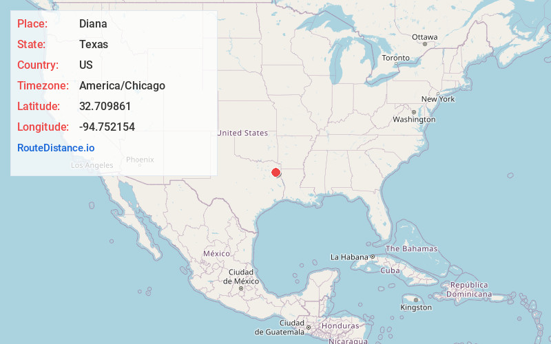
Full AddressDiana, TX 75640
-
Coordinates32.7098612, -94.7521542
-
LocationDiana , Texas , US
-
TimezoneAmerica/Chicago
-
Current Local Time10:57:31 AM America/ChicagoMonday, May 19, 2025
-
Page Views0
About Diana
Diana is an unincorporated community in Upshur County, Texas, United States. The community is north of Longview and south of Ore City on U.S. Highway 259.
The community of Diana is made up of many smaller communities; Ashland, James, Diana, Graceton, Stamps, Sand Hill, Valley View, and part of Snow Hill.
Nearby Places
Found 10 places within 50 miles

James
1.3 mi
2.1 km
James, TX 75640
Get directions
Ashland
3.1 mi
5.0 km
Ashland, TX 75640
Get directions
Stamps
3.9 mi
6.3 km
Stamps, TX 75640
Get directions
Boxwood
5.1 mi
8.2 km
Boxwood, TX 75683
Get directions
Ore City
6.5 mi
10.5 km
Ore City, TX 75683
Get directions

East Mountain
10.0 mi
16.1 km
East Mountain, TX
Get directions
Harleton
10.6 mi
17.1 km
Harleton, TX 75651
Get directions

Gilmer
11.1 mi
17.9 km
Gilmer, TX
Get directions
Union Grove
13.2 mi
21.2 km
Union Grove, TX 75647
Get directions
Warren City
13.6 mi
21.9 km
Warren City, TX 75647
Get directions
Location Links
Local Weather
Weather Information
Coming soon!
Location Map
Static map view of Diana, Texas
Browse Places by Distance
Places within specific distances from Diana
Short Distances
Long Distances
Click any distance to see all places within that range from Diana. Distances shown in miles (1 mile ≈ 1.61 kilometers).