Distance to Dillard, North Carolina

Calculating Your Route
Just a moment while we process your request...
Location Information
-
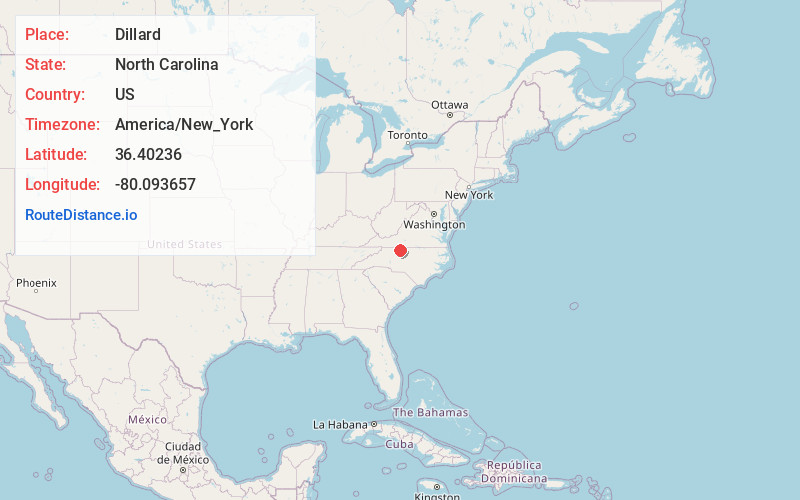
Full AddressDillard, NC 27025
-
Coordinates36.4023599, -80.0936567
-
LocationNorth Carolina , US
-
TimezoneAmerica/New_York
-
Current Local Time10:00:35 PM America/New_YorkSunday, June 8, 2025
-
Page Views0
About Dillard
Dillard is an unincorporated community in Stokes County, North Carolina. The center of Dillard is where Highway 772 and Dillard Road cross. Nearby communities include Pine Hall, Walnut Cove, Madison, Prestonville, and Danbury.
Nearby Places
Found 10 places within 50 miles

Danbury
6.3 mi
10.1 km
Danbury, NC 27016
Get directions

Mayodan
7.1 mi
11.4 km
Mayodan, NC 27027
Get directions

Madison
7.6 mi
12.2 km
Madison, NC 27025
Get directions

Walnut Cove
7.8 mi
12.6 km
Walnut Cove, NC 27052
Get directions

Stoneville
11.3 mi
18.2 km
Stoneville, NC 27048
Get directions

Germanton
12.3 mi
19.8 km
Germanton, NC
Get directions

Stokesdale
13.1 mi
21.1 km
Stokesdale, NC
Get directions

Rural Hall
15.8 mi
25.4 km
Rural Hall, NC
Get directions

Stella
15.8 mi
25.4 km
Stella, VA 24133
Get directions

Walkertown
16.0 mi
25.7 km
Walkertown, NC
Get directions
Location Links
Local Weather
Weather Information
Coming soon!
Location Map
Static map view of Dillard, North Carolina
Browse Places by Distance
Places within specific distances from Dillard
Short Distances
Long Distances
Click any distance to see all places within that range from Dillard. Distances shown in miles (1 mile ≈ 1.61 kilometers).