Distance to Dills, Ohio

Calculating Your Route
Just a moment while we process your request...
Location Information
-
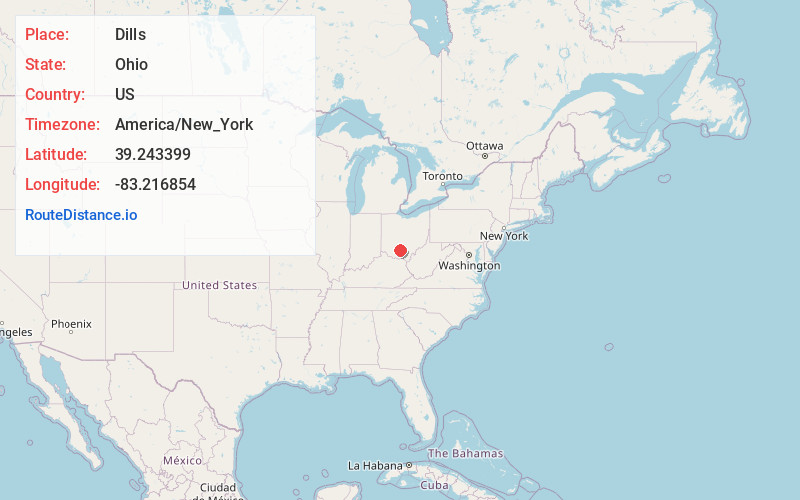
Full AddressDills, Paxton Township, OH 45612
-
Coordinates39.2433989, -83.2168535
-
LocationPaxton Township , Ohio , US
-
TimezoneAmerica/New_York
-
Current Local Time3:18:24 AM America/New_YorkThursday, June 19, 2025
-
Page Views0
Nearby Places
Found 10 places within 50 miles

Paint Valley Local School District
0.6 mi
1.0 km
Paint Valley Local School District, OH
Get directions

Bainbridge
3.1 mi
5.0 km
Bainbridge, OH 45612
Get directions
Minnehan Bend
4.1 mi
6.6 km
Minnehan Bend, Twin Township, OH 45612
Get directions
Bourneville
4.2 mi
6.8 km
Bourneville, OH
Get directions
Nipgen
5.1 mi
8.2 km
Nipgen, OH 45612
Get directions
Humboldt
5.7 mi
9.2 km
Humboldt, Paint Township, OH 45612
Get directions
Summithill
5.8 mi
9.3 km
Summithill, Huntington Township, OH 45601
Get directions
Lattaville
7.3 mi
11.7 km
Lattaville, OH 45628
Get directions
Morgantown
7.9 mi
12.7 km
Morgantown, Benton Township, OH 45612
Get directions

South Salem
8.0 mi
12.9 km
South Salem, OH 45681
Get directions
Location Links
Local Weather
Weather Information
Coming soon!
Location Map
Static map view of Dills, Ohio
Browse Places by Distance
Places within specific distances from Dills
Short Distances
Long Distances
Click any distance to see all places within that range from Dills. Distances shown in miles (1 mile ≈ 1.61 kilometers).