Distance to Doe Run, Missouri

Calculating Your Route
Just a moment while we process your request...
Location Information
-
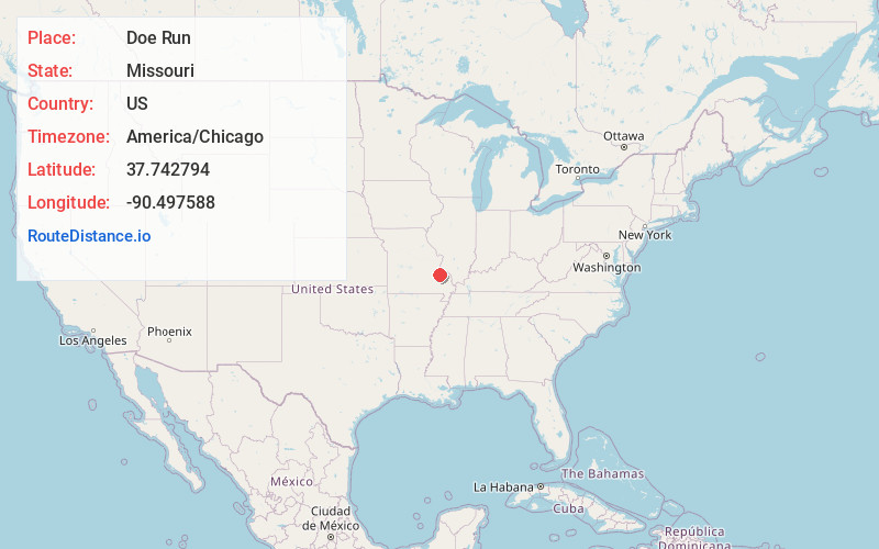
Full AddressDoe Run, MO
-
Coordinates37.7427936, -90.4975884
-
LocationDoe Run , Missouri , US
-
TimezoneAmerica/Chicago
-
Current Local Time10:21:25 PM America/ChicagoSaturday, June 14, 2025
-
Page Views0
About Doe Run
Doe Run is an unincorporated community and census-designated place in St. Francois County, Missouri, United States. It is located on Routes 221 and B, approximately three miles southwest of Farmington.
Nearby Places
Found 10 places within 50 miles

Farmington
4.9 mi
7.9 km
Farmington, MO 63640
Get directions

Leadington
6.7 mi
10.8 km
Leadington, MO
Get directions

Bismarck
7.2 mi
11.6 km
Bismarck, MO 63624
Get directions

Park Hills
7.8 mi
12.6 km
Park Hills, MO
Get directions

Desloge
9.0 mi
14.5 km
Desloge, MO
Get directions

Leadwood
10.1 mi
16.3 km
Leadwood, MO
Get directions

Ironton
12.3 mi
19.8 km
Ironton, MO 63650
Get directions

Bonne Terre
12.9 mi
20.8 km
Bonne Terre, MO 63628
Get directions

Terre Du Lac
13.6 mi
21.9 km
Terre Du Lac, Terre du Lac, MO 63628
Get directions

Fredericktown
16.9 mi
27.2 km
Fredericktown, MO 63645
Get directions
Location Links
Local Weather
Weather Information
Coming soon!
Location Map
Static map view of Doe Run, Missouri
Browse Places by Distance
Places within specific distances from Doe Run
Short Distances
Long Distances
Click any distance to see all places within that range from Doe Run. Distances shown in miles (1 mile ≈ 1.61 kilometers).