Distance to Doeville, Tennessee

Calculating Your Route
Just a moment while we process your request...
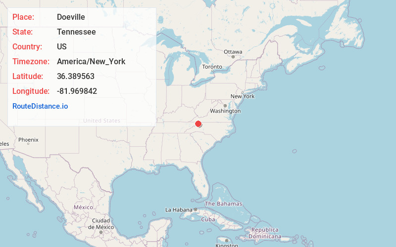
Location Information
-
Full AddressDoeville, TN 37640
-
Coordinates36.3895628, -81.969842
-
LocationTennessee , US
-
TimezoneAmerica/New_York
-
Current Local Time5:52:57 AM America/New_YorkSaturday, May 31, 2025
-
Page Views0
About Doeville
Doeville is an unincorporated community in Johnson County, Tennessee. It is concentrated around the intersection of Tennessee State Route 67 and Tennessee State Route 167, west of Mountain City and east of Butler. The community of Pandora lies immediately to the northeast along S.R. 67.
Nearby Places
Found 10 places within 50 miles

Pandora
2.7 mi
4.3 km
Pandora, TN 37640
Get directions

Butler
4.3 mi
6.9 km
Butler, TN 37640
Get directions
Pierce
4.9 mi
7.9 km
Pierce, TN 37640
Get directions
Buladeen
5.6 mi
9.0 km
Buladeen, TN 37643
Get directions
Little Doe
6.6 mi
10.6 km
Little Doe, TN 37683
Get directions
Fish Springs
7.0 mi
11.3 km
Fish Springs, TN 37640
Get directions
Winner
7.8 mi
12.6 km
Winner, TN 37643
Get directions
Crackers Neck
8.4 mi
13.5 km
Crackers Neck, TN 37683
Get directions
Wilbur
9.0 mi
14.5 km
Wilbur, TN 37643
Get directions
Reese
9.2 mi
14.8 km
Reese, NC 28692
Get directions
Location Links
Local Weather
Weather Information
Coming soon!
Location Map
Static map view of Doeville, Tennessee
Browse Places by Distance
Places within specific distances from Doeville
Short Distances
Long Distances
Click any distance to see all places within that range from Doeville. Distances shown in miles (1 mile ≈ 1.61 kilometers).