Distance to Doland, South Dakota

Calculating Your Route
Just a moment while we process your request...
Location Information
-
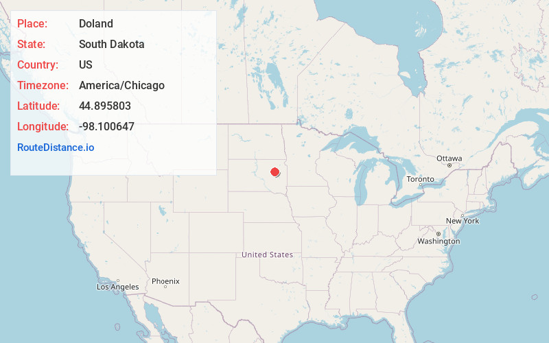
Full AddressDoland, SD 57436
-
Coordinates44.8958034, -98.1006465
-
LocationDoland , South Dakota , US
-
TimezoneAmerica/Chicago
-
Current Local Time7:45:29 PM America/ChicagoWednesday, June 18, 2025
-
Page Views0
About Doland
Doland is a city in eastern Spink County, South Dakota, United States. The population was 199 at the 2020 census.
Nearby Places
Found 10 places within 50 miles

Clark
18.0 mi
29.0 km
Clark, SD 57225
Get directions

Redfield
20.5 mi
33.0 km
Redfield, SD 57469
Get directions

Willow Lake
29.3 mi
47.2 km
Willow Lake, SD 57278
Get directions

Huron
37.2 mi
59.9 km
Huron, SD 57350
Get directions

Bryant
37.6 mi
60.5 km
Bryant, SD 57221
Get directions

Groton
38.1 mi
61.3 km
Groton, SD 57445
Get directions

Wolsey
38.4 mi
61.8 km
Wolsey, SD 57384
Get directions

Iroquois
38.6 mi
62.1 km
Iroquois, SD 57353
Get directions

Florence
39.2 mi
63.1 km
Florence, SD 57235
Get directions

Webster
41.4 mi
66.6 km
Webster, SD 57274
Get directions
Location Links
Local Weather
Weather Information
Coming soon!
Location Map
Static map view of Doland, South Dakota
Browse Places by Distance
Places within specific distances from Doland
Short Distances
Long Distances
Click any distance to see all places within that range from Doland. Distances shown in miles (1 mile ≈ 1.61 kilometers).