Distance to Donie, Texas

Calculating Your Route
Just a moment while we process your request...
Location Information
-
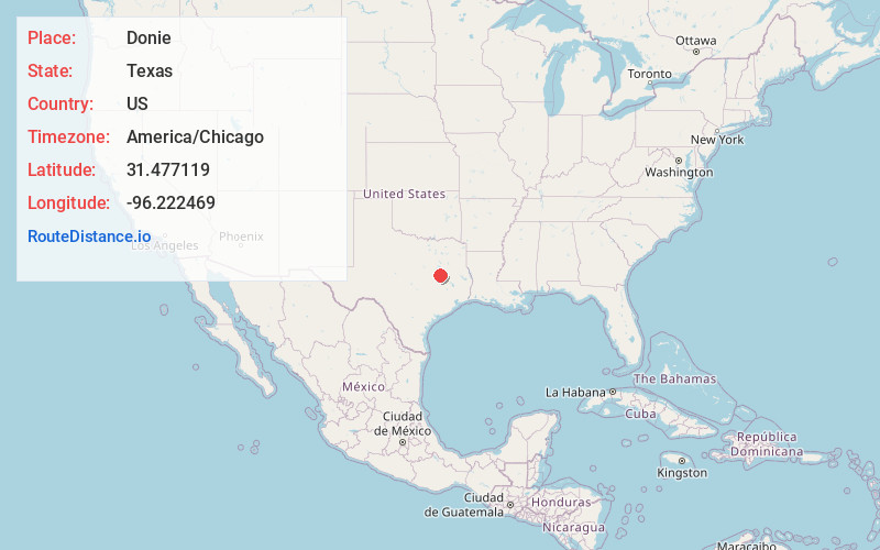
Full AddressDonie, TX 75838
-
Coordinates31.4771187, -96.2224692
-
LocationDonie , Texas , US
-
TimezoneAmerica/Chicago
-
Current Local Time3:19:40 AM America/ChicagoWednesday, June 25, 2025
-
Page Views0
About Donie
Donie is an unincorporated community in southern Freestone County, Texas, United States. It lies along State Highway 164 south of the city of Fairfield, the county seat of Freestone County. Its elevation is 489 feet. Although Donie is unincorporated, it has a post office, with the ZIP code of 75838.
Nearby Places
Found 10 places within 50 miles

Jewett
9.2 mi
14.8 km
Jewett, TX 75846
Get directions

Buffalo
9.7 mi
15.6 km
Buffalo, TX 75831
Get directions

Teague
11.0 mi
17.7 km
Teague, TX 75860
Get directions

Concord
15.9 mi
25.6 km
Concord, TX 75846
Get directions
Robbins
16.4 mi
26.4 km
Robbins, TX 75846
Get directions
Marquez
16.5 mi
26.6 km
Marquez, TX 77865
Get directions

Fairfield
17.4 mi
28.0 km
Fairfield, TX
Get directions
Holden
18.0 mi
29.0 km
Holden, TX 76667
Get directions
Turlington
18.0 mi
29.0 km
Turlington, TX 75840
Get directions

Groesbeck
18.6 mi
29.9 km
Groesbeck, TX 76642
Get directions
Location Links
Local Weather
Weather Information
Coming soon!
Location Map
Static map view of Donie, Texas
Browse Places by Distance
Places within specific distances from Donie
Short Distances
Long Distances
Click any distance to see all places within that range from Donie. Distances shown in miles (1 mile ≈ 1.61 kilometers).