Distance to Door County, Wisconsin

Calculating Your Route
Just a moment while we process your request...
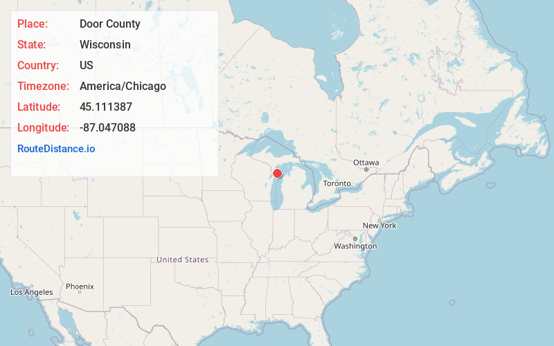
Location Information
-
Full AddressDoor County, WI
-
Coordinates45.1113873, -87.0470884
-
LocationWisconsin , US
-
TimezoneAmerica/Chicago
-
Current Local Time8:02:19 AM America/ChicagoSunday, May 25, 2025
-
Page Views0
About Door County
Door County is on a peninsula between Green Bay and Lake Michigan, in the state of Wisconsin. It’s known for its long shoreline and many parks. Peninsula State Park on Green Bay is home to sheltered Nicolet Beach, with its calm waters. On Lake Michigan, Newport State Park is a wilderness park crisscrossed with trails. Potawatomi State Park, in Sturgeon Bay, is fringed by limestone cliffs.


Nearby Places
Found 10 places within 50 miles

Baileys Harbor
4.9 mi
7.9 km
Baileys Harbor, WI 54202
Get directions

Sister Bay
6.4 mi
10.3 km
Sister Bay, WI
Get directions

Ephraim
6.8 mi
10.9 km
Ephraim, WI
Get directions

Rowleys Bay
7.5 mi
12.1 km
Rowleys Bay, WI 54210
Get directions
Peninsula Center
8.2 mi
13.2 km
Peninsula Center, WI 54202
Get directions

Liberty Grove
8.6 mi
13.8 km
Liberty Grove, WI
Get directions

Gibraltar
9.8 mi
15.8 km
Gibraltar, WI
Get directions
Fish Creek
9.8 mi
15.8 km
Fish Creek, WI 54212
Get directions

Ellison Bay
10.0 mi
16.1 km
Ellison Bay, WI 54210
Get directions
Juddville
10.0 mi
16.1 km
Juddville, WI 54212
Get directions
Location Links
Local Weather
Weather Information
Coming soon!
Location Map
Static map view of Door County, Wisconsin
Browse Places by Distance
Places within specific distances from Door County
Short Distances
Long Distances
Click any distance to see all places within that range from Door County. Distances shown in miles (1 mile ≈ 1.61 kilometers).