Distance to Dora, Oregon

Calculating Your Route
Just a moment while we process your request...
Location Information
-
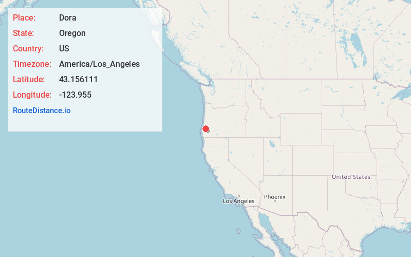
Full AddressDora, OR 97458
-
Coordinates43.156111, -123.955
-
LocationDora , Oregon , US
-
TimezoneAmerica/Los_Angeles
-
Current Local Time1:36:10 PM America/Los_AngelesSaturday, May 31, 2025
-
Page Views0
About Dora
Dora is an unincorporated community in Coos County, Oregon, United States. It is about 19 miles east of Coquille near the East Fork Coquille River on the former route of the Coos Bay Wagon Road. It is in the Southern Oregon Coast Range.
Dora post office was established in 1874.

Nearby Places
Found 10 places within 50 miles

Myrtle Point
11.2 mi
18.0 km
Myrtle Point, OR 97458
Get directions

Coquille
11.8 mi
19.0 km
Coquille, OR 97423
Get directions

Arago
12.5 mi
20.1 km
Arago, OR 97458
Get directions

Green Acres
14.4 mi
23.2 km
Green Acres, OR 97420
Get directions

Bunker Hill
18.7 mi
30.1 km
Bunker Hill, OR 97420
Get directions

Coos Bay
19.5 mi
31.4 km
Coos Bay, OR
Get directions

Powers
19.8 mi
31.9 km
Powers, OR 97466
Get directions
Crown Point
21.5 mi
34.6 km
Crown Point, OR 97420
Get directions

North Bend
22.0 mi
35.4 km
North Bend, OR 97459
Get directions

Charleston
22.8 mi
36.7 km
Charleston, OR 97420
Get directions
Location Links
Local Weather
Weather Information
Coming soon!
Location Map
Static map view of Dora, Oregon
Browse Places by Distance
Places within specific distances from Dora
Short Distances
Long Distances
Click any distance to see all places within that range from Dora. Distances shown in miles (1 mile ≈ 1.61 kilometers).