Distance to Doskie, Mississippi

Calculating Your Route
Just a moment while we process your request...
Location Information
-
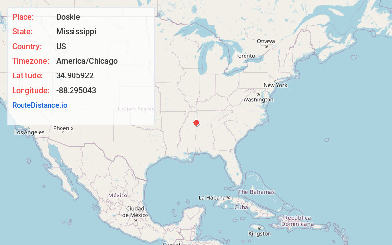
Full AddressDoskie, MS 38852
-
Coordinates34.9059216, -88.2950431
-
LocationDoskie , Mississippi , US
-
TimezoneAmerica/Chicago
-
Current Local Time4:45:40 AM America/ChicagoTuesday, June 24, 2025
-
Page Views0
About Doskie
Doskie is an unincorporated community located on Mississippi Highway 365 in Tishomingo County, Mississippi, United States. Doskie is just north of the Tennessee–Tombigbee Waterway, approximately 6 miles north of Burnsville and approximately 13 miles northwest of Iuka.
Nearby Places
Found 10 places within 50 miles

Burnsville
4.9 mi
7.9 km
Burnsville, MS 38833
Get directions
Sandy Creek Subdivision
6.3 mi
10.1 km
Sandy Creek Subdivision, MS 38852
Get directions
Glen
8.2 mi
13.2 km
Glen, MS
Get directions
Leedy
8.5 mi
13.7 km
Leedy, MS 38833
Get directions

Iuka
8.8 mi
14.2 km
Iuka, MS 38852
Get directions
Farmington
9.4 mi
15.1 km
Farmington, MS 38834
Get directions

Counce
9.5 mi
15.3 km
Counce, TN 38326
Get directions
Childers Hill
12.0 mi
19.3 km
Childers Hill, TN
Get directions
Jobes
12.0 mi
19.3 km
Jobes, MS 38834
Get directions
Riverton
12.5 mi
20.1 km
Riverton, AL 35616
Get directions
Location Links
Local Weather
Weather Information
Coming soon!
Location Map
Static map view of Doskie, Mississippi
Browse Places by Distance
Places within specific distances from Doskie
Short Distances
Long Distances
Click any distance to see all places within that range from Doskie. Distances shown in miles (1 mile ≈ 1.61 kilometers).