Distance to Dotsontown, Tennessee

Calculating Your Route
Just a moment while we process your request...
Location Information
-
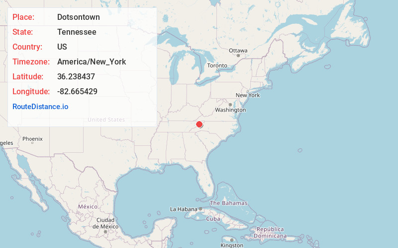
Full AddressDotsontown, TN 37681
-
Coordinates36.2384373, -82.6654293
-
LocationTennessee , US
-
TimezoneAmerica/New_York
-
Current Local Time3:38:55 AM America/New_YorkWednesday, June 18, 2025
-
Page Views0
Nearby Places
Found 10 places within 50 miles

Limestone
2.1 mi
3.4 km
Limestone, TN 37681
Get directions

Pleasant Vale
2.1 mi
3.4 km
Pleasant Vale, TN 37641
Get directions
Centersville
2.7 mi
4.3 km
Centersville, TN 37681
Get directions
Mill Brook
2.9 mi
4.7 km
Mill Brook, TN 37690
Get directions

Afton
5.1 mi
8.2 km
Afton, TN 37616
Get directions
Milburnton
5.2 mi
8.4 km
Milburnton, TN 37681
Get directions
Babbs Mill
6.5 mi
10.5 km
Babbs Mill, TN 37616
Get directions

Bowmantown
6.5 mi
10.5 km
Bowmantown, TN 37690
Get directions
Chestnut Ridge
6.6 mi
10.6 km
Chestnut Ridge, TN 37641
Get directions

Telford
6.7 mi
10.8 km
Telford, TN 37690
Get directions
Location Links
Local Weather
Weather Information
Coming soon!
Location Map
Static map view of Dotsontown, Tennessee
Browse Places by Distance
Places within specific distances from Dotsontown
Short Distances
Long Distances
Click any distance to see all places within that range from Dotsontown. Distances shown in miles (1 mile ≈ 1.61 kilometers).