Distance to Dover, New Hampshire

Calculating Your Route
Just a moment while we process your request...
Location Information
-
Full AddressDover, NH 03820
-
Coordinates43.1978624, -70.8736698
-
LocationDover , New Hampshire , US
-
TimezoneAmerica/New_York
-
Current Local Time4:00:17 AM America/New_YorkMonday, June 23, 2025
-
Website
-
Page Views0
About Dover
Dover is a city in Strafford County, New Hampshire, United States. The population was 32,741 at the 2020 census, making it the most populous city in the New Hampshire Seacoast region and the fifth most populous city in New Hampshire.


Nearby Places
Found 6 places within 50 miles

Portsmouth
10.7 mi
17.2 km
Portsmouth, NH 03801
Get directions

Manchester
32.5 mi
52.3 km
Manchester, NH
Get directions

Lawrence
36.9 mi
59.4 km
Lawrence, MA
Get directions

Nashua
42.6 mi
68.6 km
Nashua, NH
Get directions

Portland
44.1 mi
71.0 km
Portland, ME
Get directions

Lowell
44.1 mi
71.0 km
Lowell, MA
Get directions
Location Links
Local Weather
Weather Information
Coming soon!
Location Map
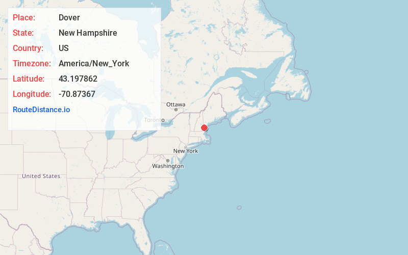
Static map view of Dover, New Hampshire
Browse Places by Distance
Places within specific distances from Dover
Short Distances
Long Distances
Click any distance to see all places within that range from Dover. Distances shown in miles (1 mile ≈ 1.61 kilometers).