Distance to Dowling, Ohio

Calculating Your Route
Just a moment while we process your request...
Location Information
-
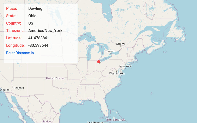
Full AddressDowling, OH 43402
-
Coordinates41.4783856, -83.5935443
-
LocationDowling , Ohio , US
-
TimezoneAmerica/New_York
-
Current Local Time11:44:01 AM America/New_YorkWednesday, May 28, 2025
-
Page Views0
About Dowling
Dowling is an unincorporated community in Wood County, Ohio, United States. The New Belleville Ridge Cemetery is located in Dowling.
Nearby Places
Found 10 places within 50 miles

Dunbridge
1.6 mi
2.6 km
Dunbridge, OH 43402
Get directions

Sugar Ridge
3.7 mi
6.0 km
Sugar Ridge, Center Township, OH 43402
Get directions
Lime City
4.2 mi
6.8 km
Lime City, Perrysburg Township, OH 43551
Get directions
Roachton
4.7 mi
7.6 km
Roachton, Perrysburg, OH 43551
Get directions
Pheasant Run
4.8 mi
7.7 km
Pheasant Run, Perrysburg, OH 43551
Get directions

Stony Ridge
5.0 mi
8.0 km
Stony Ridge, OH 43551
Get directions
Hull Prairie
5.4 mi
8.7 km
Hull Prairie, Haskins, OH 43525
Get directions

Perrysburg
5.7 mi
9.2 km
Perrysburg, OH 43551
Get directions

Luckey
5.8 mi
9.3 km
Luckey, OH
Get directions
Haskins
5.9 mi
9.5 km
Haskins, OH
Get directions
Location Links
Local Weather
Weather Information
Coming soon!
Location Map
Static map view of Dowling, Ohio
Browse Places by Distance
Places within specific distances from Dowling
Short Distances
Long Distances
Click any distance to see all places within that range from Dowling. Distances shown in miles (1 mile ≈ 1.61 kilometers).