Distance to and from Downstown Airport, New Jersey
Downstown Airport, 339 Harding Hwy, Vineland, NJ 08360
Vineland
New Jersey
US
America/New_York
Location Information
-
Full AddressDownstown Airport, 339 Harding Hwy, Vineland, NJ 08360
-
Coordinates39.5421709, -74.9636005
-
Street339 Harding Hwy
-
LocationVineland , New Jersey , US
-
TimezoneAmerica/New_York
-
Current Local Time4:21:47 PM America/New_YorkFriday, May 2, 2025
-
Website
-
Page Views0
Directions to Nearest Cities
Nearby Places
Found 10 places within 50 miles

Buena
1.6 mi
2.6 km
Buena, NJ
Get directions
Blue Bell
2.1 mi
3.4 km
Blue Bell, Franklin, NJ 08344
Get directions
Newfield
3.3 mi
5.3 km
Newfield, NJ
Get directions
Piney Hollow
3.7 mi
6.0 km
Piney Hollow, Franklin, NJ 08344
Get directions

Buena Vista Township
4.2 mi
6.8 km
Buena Vista Township, NJ
Get directions
Forest Grove
4.3 mi
6.9 km
Forest Grove, Vineland, NJ 08360
Get directions
Plainville
4.4 mi
7.1 km
Plainville, Franklin, NJ 08322
Get directions
Pancoast
5.1 mi
8.2 km
Pancoast, Buena Vista Township, NJ 08310
Get directions
Berryland
5.7 mi
9.2 km
Berryland, Monroe, NJ 08094
Get directions
Five Points
5.7 mi
9.2 km
Five Points, Buena Vista Township, NJ 08360
Get directions
Buena
1.6 mi
2.6 km
Buena, NJ
Blue Bell
2.1 mi
3.4 km
Blue Bell, Franklin, NJ 08344
Newfield
3.3 mi
5.3 km
Newfield, NJ
Piney Hollow
3.7 mi
6.0 km
Piney Hollow, Franklin, NJ 08344
Buena Vista Township
4.2 mi
6.8 km
Buena Vista Township, NJ
Forest Grove
4.3 mi
6.9 km
Forest Grove, Vineland, NJ 08360
Plainville
4.4 mi
7.1 km
Plainville, Franklin, NJ 08322
Pancoast
5.1 mi
8.2 km
Pancoast, Buena Vista Township, NJ 08310
Berryland
5.7 mi
9.2 km
Berryland, Monroe, NJ 08094
Five Points
5.7 mi
9.2 km
Five Points, Buena Vista Township, NJ 08360
Location Links
Local Weather
Weather Information
Coming soon!
Location Map
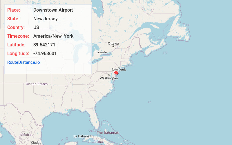
Static map view of Downstown Airport, New Jersey
Browse Places by Distance
Places within specific distances from Downstown Airport
Short Distances
Long Distances
Click any distance to see all places within that range from Downstown Airport. Distances shown in miles (1 mile ≈ 1.61 kilometers).