Distance to Downsville, Maryland

Calculating Your Route
Just a moment while we process your request...
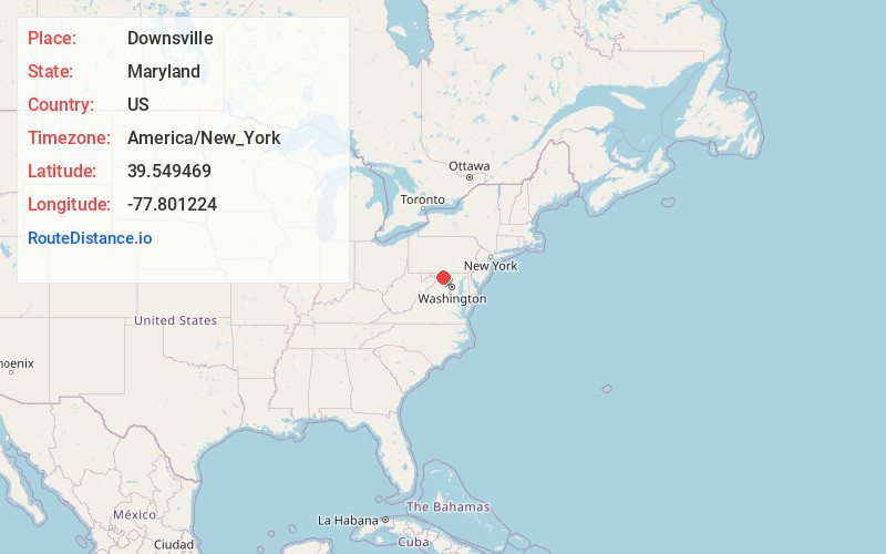
Location Information
-
Full AddressDownsville, MD 21795
-
Coordinates39.549469, -77.801224
-
LocationDownsville , Maryland , US
-
TimezoneAmerica/New_York
-
Current Local Time1:42:46 PM America/New_YorkWednesday, June 18, 2025
-
Page Views0
About Downsville
Downsville is an unincorporated community and census-designated place in southwestern Washington County, Maryland, United States. Its population was 355 as of the 2010 census. It is located southeast of Williamsport on Maryland Route 63 and on Maryland Route 632, southwest of Hagerstown.
Nearby Places
Found 10 places within 50 miles

St James
2.5 mi
4.0 km
St James, MD
Get directions

Williamsport
3.7 mi
6.0 km
Williamsport, MD 21795
Get directions

Falling Waters
4.8 mi
7.7 km
Falling Waters, WV 25419
Get directions
Halfway
5.5 mi
8.9 km
Halfway, MD
Get directions

Keedysville
7.0 mi
11.3 km
Keedysville, MD
Get directions

Wilson-Conococheague
7.3 mi
11.7 km
Wilson-Conococheague, MD
Get directions

Hagerstown
7.7 mi
12.4 km
Hagerstown, MD
Get directions

Shepherdstown
8.2 mi
13.2 km
Shepherdstown, WV
Get directions

Boonsboro
8.5 mi
13.7 km
Boonsboro, MD 21713
Get directions

Robinwood
9.8 mi
15.8 km
Robinwood, MD
Get directions
Location Links
Local Weather
Weather Information
Coming soon!
Location Map
Static map view of Downsville, Maryland
Browse Places by Distance
Places within specific distances from Downsville
Short Distances
Long Distances
Click any distance to see all places within that range from Downsville. Distances shown in miles (1 mile ≈ 1.61 kilometers).