Distance to Doylestown, Ohio

Calculating Your Route
Just a moment while we process your request...
Location Information
-
Full AddressDoylestown, OH 44230
-
Coordinates40.9700549, -81.6965168
-
LocationDoylestown , Ohio , US
-
TimezoneAmerica/New_York
-
Current Local Time4:15:43 PM America/New_YorkWednesday, June 18, 2025
-
Website
-
Page Views0
About Doylestown
Doylestown is a village located atop the highest point in Wayne County, Ohio, United States. It is surrounded by Chippewa Township and located 13 miles southwest of Akron. The village was founded in 1827 when William Doyle laid out a 40-lot town site at the crossing of two Native American trails on a hilltop.


Nearby Places
Found 10 places within 50 miles

Wadsworth
4.2 mi
6.8 km
Wadsworth, OH 44281
Get directions

Rittman
4.5 mi
7.2 km
Rittman, OH
Get directions

Norton
5.1 mi
8.2 km
Norton, OH
Get directions

Barberton
5.6 mi
9.0 km
Barberton, OH 44203
Get directions

Canal Fulton
7.6 mi
12.2 km
Canal Fulton, OH
Get directions

New Franklin
8.3 mi
13.4 km
New Franklin, OH
Get directions

Portage Lakes
9.2 mi
14.8 km
Portage Lakes, OH 44319
Get directions

Orrville
9.4 mi
15.1 km
Orrville, OH 44667
Get directions

Green
11.3 mi
18.2 km
Green, OH
Get directions

Fairlawn
11.8 mi
19.0 km
Fairlawn, OH
Get directions
Location Links
Local Weather
Weather Information
Coming soon!
Location Map
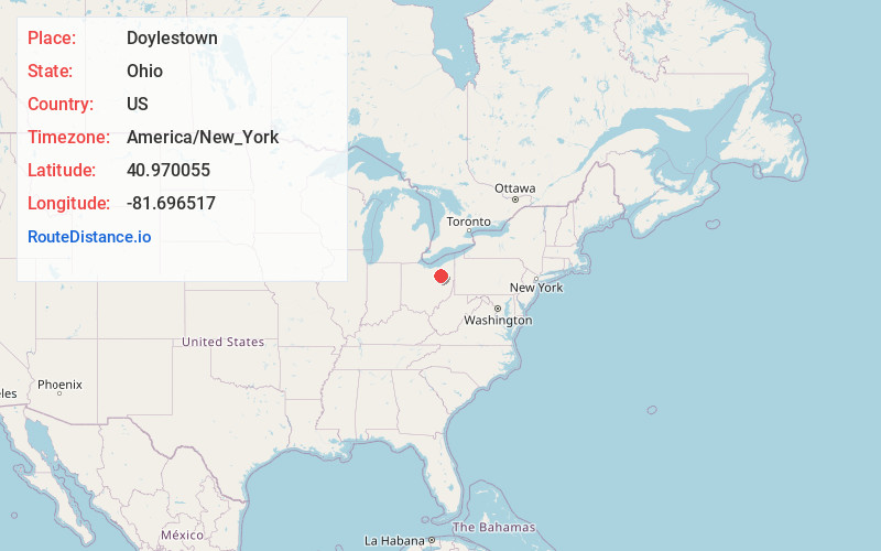
Static map view of Doylestown, Ohio
Browse Places by Distance
Places within specific distances from Doylestown
Short Distances
Long Distances
Click any distance to see all places within that range from Doylestown. Distances shown in miles (1 mile ≈ 1.61 kilometers).