Distance to Dragston, New Jersey

Calculating Your Route
Just a moment while we process your request...
Location Information
-
Full AddressDragston, Downe, NJ 08349
-
Coordinates39.26567, -75.0721245
-
LocationDowne , New Jersey , US
-
TimezoneAmerica/New_York
-
Current Local Time8:34:32 PM America/New_YorkTuesday, June 17, 2025
-
Page Views0
Nearby Places
Found 10 places within 50 miles

Cumberland County
0.8 mi
1.3 km
Cumberland County, NJ
Get directions

Lores Mill
1.3 mi
2.1 km
Lores Mill, Commercial Township, NJ 08349
Get directions
Downe
1.7 mi
2.7 km
Downe, NJ
Get directions
Dividing Creek
2.4 mi
3.9 km
Dividing Creek, New Jersey
Get directions

Commercial Township
2.7 mi
4.3 km
Commercial Township, NJ
Get directions
Baileytown
3.7 mi
6.0 km
Baileytown, Downe, NJ 08332
Get directions

Maurice River
5.0 mi
8.0 km
Maurice River, NJ
Get directions

Shaws Mill Pond
5.6 mi
9.0 km
Shaws Mill Pond, New Jersey 08311
Get directions

Fortescue Beach
5.8 mi
9.3 km
Fortescue Beach, New Jersey
Get directions
Lummistown
8.2 mi
13.2 km
Lummistown, Lawrence, NJ 08311
Get directions
Location Links
Local Weather
Weather Information
Coming soon!
Location Map
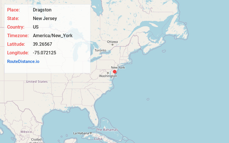
Static map view of Dragston, New Jersey
Browse Places by Distance
Places within specific distances from Dragston
Short Distances
Long Distances
Click any distance to see all places within that range from Dragston. Distances shown in miles (1 mile ≈ 1.61 kilometers).