Distance to Drew, North Carolina

Calculating Your Route
Just a moment while we process your request...
Location Information
-
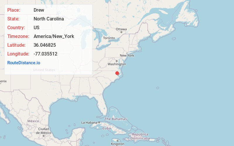
Full AddressDrew, NC 27983
-
Coordinates36.0468249, -77.0355122
-
LocationNorth Carolina , US
-
TimezoneAmerica/New_York
-
Current Local Time12:33:36 AM America/New_YorkSaturday, June 21, 2025
-
Page Views0
Nearby Places
Found 10 places within 50 miles

Republican
2.8 mi
4.5 km
Republican, NC 27983
Get directions

Windsor
6.0 mi
9.7 km
Windsor, NC 27983
Get directions
Cahaba
6.8 mi
10.9 km
Cahaba, NC 27849
Get directions
Askewville
6.9 mi
11.1 km
Askewville, NC 27983
Get directions
Francis Mill
7.4 mi
11.9 km
Francis Mill, NC 27805
Get directions
Burden
7.9 mi
12.7 km
Burden, NC 27805
Get directions
Todds Crossroads
9.3 mi
15.0 km
Todds Crossroads, NC 27983
Get directions
Lewiston Woodville
9.5 mi
15.3 km
Lewiston Woodville, NC 27849
Get directions
Rhodes
9.9 mi
15.9 km
Rhodes, NC 27805
Get directions
Connaritsa
10.1 mi
16.3 km
Connaritsa, NC 27805
Get directions
Location Links
Local Weather
Weather Information
Coming soon!
Location Map
Static map view of Drew, North Carolina
Browse Places by Distance
Places within specific distances from Drew
Short Distances
Long Distances
Click any distance to see all places within that range from Drew. Distances shown in miles (1 mile ≈ 1.61 kilometers).