Distance to Drexel Heights, Arizona

Calculating Your Route
Just a moment while we process your request...
Location Information
-
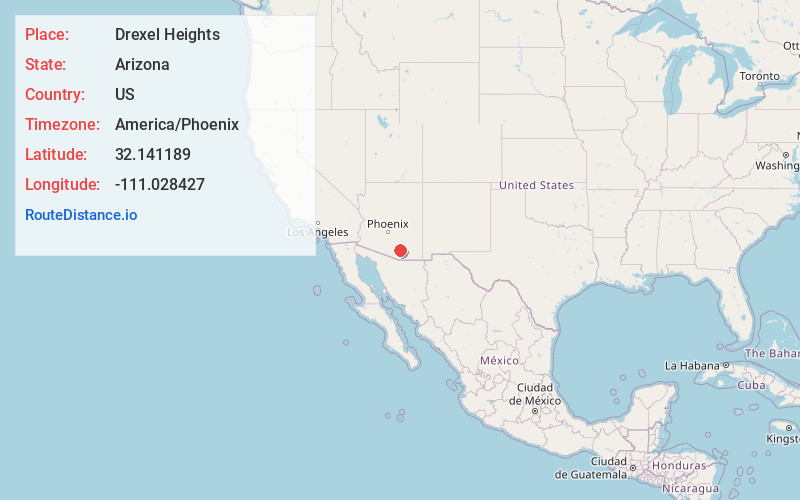
Full AddressDrexel Heights, AZ
-
Coordinates32.1411888, -111.028427
-
LocationDrexel Heights , Arizona , US
-
TimezoneAmerica/Phoenix
-
Current Local Time3:05:16 PM America/PhoenixWednesday, June 18, 2025
-
Page Views0
About Drexel Heights
Drexel Heights is an unincorporated community and census-designated place in Pima County, Arizona, United States. The population was 27,749 at the 2010 census.
The area is said to be named after financier Francis Anthony Drexel, the father of Saint Katharine Drexel.


Nearby Places
Found 6 places within 50 miles

Tucson
8.4 mi
13.5 km
Tucson, AZ
Get directions

Catalina Foothills
12.6 mi
20.3 km
Catalina Foothills, AZ
Get directions

Casas Adobes
12.7 mi
20.4 km
Casas Adobes, AZ
Get directions

Sahuarita
13.4 mi
21.6 km
Sahuarita, AZ
Get directions

Oro Valley
17.6 mi
28.3 km
Oro Valley, AZ
Get directions

Marana
23.3 mi
37.5 km
Marana, AZ
Get directions
Location Links
Local Weather
Weather Information
Coming soon!
Location Map
Static map view of Drexel Heights, Arizona
Browse Places by Distance
Places within specific distances from Drexel Heights
Short Distances
Long Distances
Click any distance to see all places within that range from Drexel Heights. Distances shown in miles (1 mile ≈ 1.61 kilometers).