Distance to Duluth, Washington

Calculating Your Route
Just a moment while we process your request...
Location Information
-
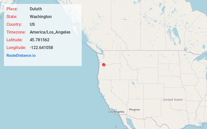
Full AddressDuluth, WA 98642
-
Coordinates45.7815623, -122.641058
-
LocationDuluth , Washington , US
-
TimezoneAmerica/Los_Angeles
-
Current Local Time3:02:01 AM America/Los_AngelesSunday, June 29, 2025
-
Page Views0
About Duluth
Duluth is a census-designated place in Clark County, Washington, United States. The population was 1,544 at the 2020 census.
The community is located 11 miles north of downtown Vancouver, Washington, with access from Exit 11 on Interstate 5.
Nearby Places
Found 10 places within 50 miles

Mt Vista
3.3 mi
5.3 km
Mt Vista, WA
Get directions

Ridgefield
3.4 mi
5.5 km
Ridgefield, WA 98642
Get directions

Meadow Glade
4.2 mi
6.8 km
Meadow Glade, WA 98604
Get directions

Salmon Creek
4.9 mi
7.9 km
Salmon Creek, WA
Get directions

Battle Ground
5.0 mi
8.0 km
Battle Ground, WA
Get directions

Barberton
5.0 mi
8.0 km
Barberton, WA
Get directions

Brush Prairie
5.7 mi
9.2 km
Brush Prairie, WA
Get directions

La Center
5.8 mi
9.3 km
La Center, WA
Get directions

Felida
5.9 mi
9.5 km
Felida, WA 98685
Get directions
Lewisville
6.0 mi
9.7 km
Lewisville, WA 98604
Get directions
Location Links
Local Weather
Weather Information
Coming soon!
Location Map
Static map view of Duluth, Washington
Browse Places by Distance
Places within specific distances from Duluth
Short Distances
Long Distances
Click any distance to see all places within that range from Duluth. Distances shown in miles (1 mile ≈ 1.61 kilometers).