Distance to Duncan, Arizona

Calculating Your Route
Just a moment while we process your request...
Location Information
-
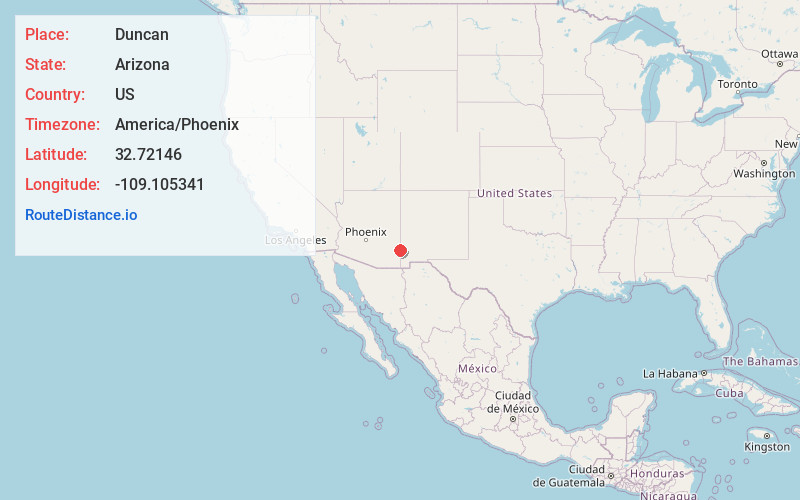
Full AddressDuncan, AZ 85534
-
Coordinates32.7214599, -109.1053408
-
LocationDuncan , Arizona , US
-
TimezoneAmerica/Phoenix
-
Current Local Time11:43:40 AM America/PhoenixFriday, June 13, 2025
-
Page Views0
About Duncan
Duncan is a town in Greenlee County, Arizona, United States. As of the 2010 census, the population of the town was 696. In 2018 the estimated population was 789.
Duncan is in the Gila River valley, four miles west of the Arizona–New Mexico border.


Nearby Places
Found 9 places within 50 miles

Clifton
25.3 mi
40.7 km
Clifton, AZ
Get directions

Morenci
26.2 mi
42.2 km
Morenci, AZ 85540
Get directions

Lordsburg
34.5 mi
55.5 km
Lordsburg, NM 88045
Get directions

Swift Trail Junction
35.4 mi
57.0 km
Swift Trail Junction, AZ 85546
Get directions

Cactus Flat
35.5 mi
57.1 km
Cactus Flat, AZ 85546
Get directions

Safford
35.8 mi
57.6 km
Safford, AZ
Get directions

Thatcher
39.0 mi
62.8 km
Thatcher, AZ 85552
Get directions

Pima
43.6 mi
70.2 km
Pima, AZ 85543
Get directions

Silver City
48.1 mi
77.4 km
Silver City, NM 88061
Get directions
Location Links
Local Weather
Weather Information
Coming soon!
Location Map
Static map view of Duncan, Arizona
Browse Places by Distance
Places within specific distances from Duncan
Short Distances
Long Distances
Click any distance to see all places within that range from Duncan. Distances shown in miles (1 mile ≈ 1.61 kilometers).