Distance to Duncan Falls, Ohio

Calculating Your Route
Just a moment while we process your request...
Location Information
-
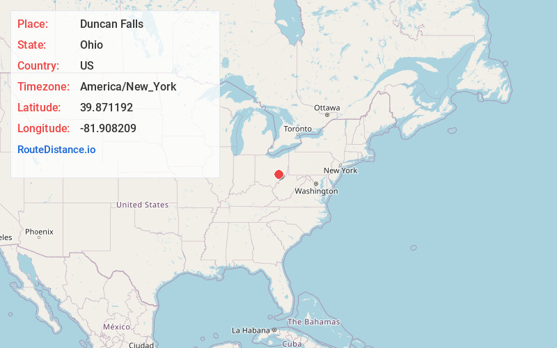
Full AddressDuncan Falls, OH 43734
-
Coordinates39.8711921, -81.9082089
-
LocationDuncan Falls , Ohio , US
-
TimezoneAmerica/New_York
-
Current Local Time1:08:40 AM America/New_YorkWednesday, June 25, 2025
-
Page Views0
About Duncan Falls
Duncan Falls is a census-designated place in southeastern Wayne Township, Muskingum County, Ohio, United States, located on State Route 60 south of the city of Zanesville. It has a post office with the ZIP Code 43734. Duncan Falls has a public library, a branch of the Muskingum County Library System.


Nearby Places
Found 10 places within 50 miles

South Zanesville
6.4 mi
10.3 km
South Zanesville, OH 43701
Get directions

Zanesville
7.3 mi
11.7 km
Zanesville, OH 43701
Get directions
North Zanesville
9.0 mi
14.5 km
North Zanesville, OH 43701
Get directions

Roseville
9.7 mi
15.6 km
Roseville, OH 43777
Get directions

Crooksville
12.0 mi
19.3 km
Crooksville, OH 43731
Get directions

New Concord
12.5 mi
20.1 km
New Concord, OH 43762
Get directions

McConnelsville
15.7 mi
25.3 km
McConnelsville, OH 43756
Get directions

Dresden
18.1 mi
29.1 km
Dresden, OH
Get directions
New Lexington
19.3 mi
31.1 km
New Lexington, OH 43764
Get directions

Cambridge
20.1 mi
32.3 km
Cambridge, OH 43725
Get directions
Location Links
Local Weather
Weather Information
Coming soon!
Location Map
Static map view of Duncan Falls, Ohio
Browse Places by Distance
Places within specific distances from Duncan Falls
Short Distances
Long Distances
Click any distance to see all places within that range from Duncan Falls. Distances shown in miles (1 mile ≈ 1.61 kilometers).