Distance to Duncan Township, Michigan

Calculating Your Route
Just a moment while we process your request...
Location Information
-
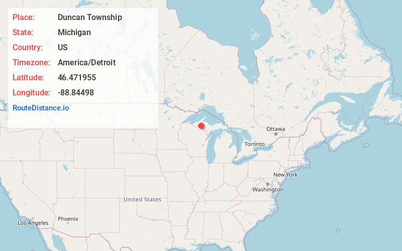
Full AddressDuncan Township, MI
-
Coordinates46.471955, -88.8449796
-
LocationDuncan Township , Michigan , US
-
TimezoneAmerica/Detroit
-
Current Local Time2:22:26 AM America/DetroitThursday, July 3, 2025
-
Page Views0
About Duncan Township
Duncan Township is a civil township of Houghton County in the U.S. state of Michigan. As of the 2020 census, the township population was 234.
Nearby Places
Found 10 places within 50 miles

Kenton
2.5 mi
4.0 km
Kenton, MI 49967
Get directions
Sidnaw
6.9 mi
11.1 km
Sidnaw, MI 49961
Get directions

Frost
9.3 mi
15.0 km
Frost, MI 49967
Get directions
Agate
10.7 mi
17.2 km
Agate, MI 49967
Get directions
Tunis
11.0 mi
17.7 km
Tunis, MI 49970
Get directions

Watton
12.2 mi
19.6 km
Watton, MI 49970
Get directions
Calderwood
12.2 mi
19.6 km
Calderwood, MI 49967
Get directions
Paynesville
13.4 mi
21.6 km
Paynesville, MI 49912
Get directions
North Paynesville
14.4 mi
23.2 km
North Paynesville, MI 49912
Get directions
Pori
15.4 mi
24.8 km
Pori, MI 49948
Get directions
Location Links
Local Weather
Weather Information
Coming soon!
Location Map
Static map view of Duncan Township, Michigan
Browse Places by Distance
Places within specific distances from Duncan Township
Short Distances
Long Distances
Click any distance to see all places within that range from Duncan Township. Distances shown in miles (1 mile ≈ 1.61 kilometers).