Distance to Dundas, Illinois

Calculating Your Route
Just a moment while we process your request...
Location Information
-
Full AddressDundas, IL 62425
-
Coordinates38.835046, -88.0850374
-
LocationDundas , Illinois , US
-
TimezoneAmerica/Chicago
-
Current Local Time8:15:01 PM America/ChicagoFriday, June 20, 2025
-
Page Views0
About Dundas
Dundas is an unincorporated community and census-designated place in Richland County, Illinois, United States. Dundas is 7 miles north of Olney. Dundas has a post office with ZIP code 62425. It has a population of 503.
Nearby Places
Found 10 places within 50 miles

Olney
7.2 mi
11.6 km
Olney, IL 62450
Get directions

Newton
11.5 mi
18.5 km
Newton, IL 62448
Get directions

Noble
12.1 mi
19.5 km
Noble, IL 62868
Get directions
Sumner
14.5 mi
23.3 km
Sumner, IL
Get directions

Oblong
14.9 mi
24.0 km
Oblong, IL 62449
Get directions

Clay City
17.7 mi
28.5 km
Clay City, IL 62824
Get directions

Bridgeport
19.7 mi
31.7 km
Bridgeport, IL 62417
Get directions
Robinson
22.0 mi
35.4 km
Robinson, IL 62454
Get directions
West Salem
22.1 mi
35.6 km
West Salem, IL 62476
Get directions

Dieterich
22.3 mi
35.9 km
Dieterich, IL 62424
Get directions
Location Links
Local Weather
Weather Information
Coming soon!
Location Map
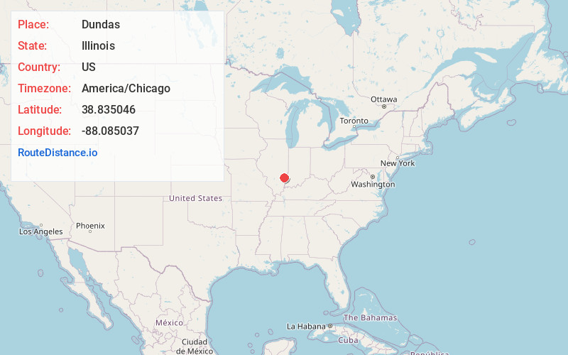
Static map view of Dundas, Illinois
Browse Places by Distance
Places within specific distances from Dundas
Short Distances
Long Distances
Click any distance to see all places within that range from Dundas. Distances shown in miles (1 mile ≈ 1.61 kilometers).