Distance to Dundee, Wisconsin

Calculating Your Route
Just a moment while we process your request...
Location Information
-
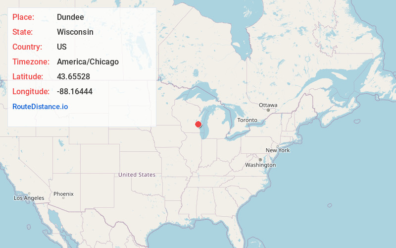
Full AddressDundee, WI 53011
-
Coordinates43.65528, -88.16444
-
LocationDundee , Wisconsin , US
-
TimezoneAmerica/Chicago
-
Current Local Time12:48:52 PM America/ChicagoSunday, May 25, 2025
-
Page Views0
About Dundee
Dundee is an unincorporated community located in the town of Osceola, Fond du Lac County, Wisconsin, United States. It is located on Wisconsin Highway 67 in the Kettle Moraine State Forest. The Kettle Moraine Scenic Drive runs through the community.
Nearby Places
Found 10 places within 50 miles

Chinatown
2.0 mi
3.2 km
Chinatown, WI 53011
Get directions
New Prospect
2.8 mi
4.5 km
New Prospect, Auburn, WI 53010
Get directions
Waucousta
4.8 mi
7.7 km
Waucousta, Osceola, WI 53010
Get directions
Beechwood
4.8 mi
7.7 km
Beechwood, WI 53040
Get directions
Campbellsport
7.0 mi
11.3 km
Campbellsport, WI 53010
Get directions
Batavia Elementary School
7.0 mi
11.3 km
Batavia Elementary School, Adell, WI 53001
Get directions
New Fane
7.0 mi
11.3 km
New Fane, Auburn, WI 53040
Get directions

Cascade
7.7 mi
12.4 km
Cascade, WI 53011
Get directions
Dotyville
8.3 mi
13.4 km
Dotyville, Forest, WI 53057
Get directions
Banner
8.4 mi
13.5 km
Banner, Forest, WI 53057
Get directions
Location Links
Local Weather
Weather Information
Coming soon!
Location Map
Static map view of Dundee, Wisconsin
Browse Places by Distance
Places within specific distances from Dundee
Short Distances
Long Distances
Click any distance to see all places within that range from Dundee. Distances shown in miles (1 mile ≈ 1.61 kilometers).