Distance to Dundee Township, Illinois

Calculating Your Route
Just a moment while we process your request...
Location Information
-
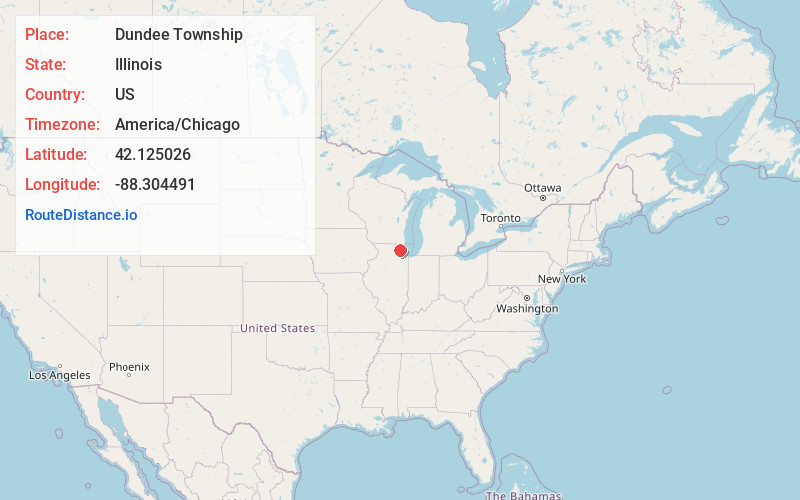
Full AddressDundee Township, IL
-
Coordinates42.1250261, -88.3044908
-
LocationDundee Township , Illinois , US
-
TimezoneAmerica/Chicago
-
Current Local Time9:26:45 AM America/ChicagoSaturday, May 31, 2025
-
Page Views0
About Dundee Township
Dundee Township occupies the 6-mile square in the Northeast corner of Kane County, Illinois. It includes West and East Dundee, Carpentersville, Sleepy Hollow, Gilberts and portions of Elgin, Barrington Hills, and Algonquin. It is divided by the Fox River.


Nearby Places
Found 10 places within 50 miles

Sleepy Hollow
2.1 mi
3.4 km
Sleepy Hollow, IL
Get directions
West Dundee
2.2 mi
3.5 km
West Dundee, IL
Get directions
Carpentersville
2.4 mi
3.9 km
Carpentersville, IL
Get directions

East Dundee
2.5 mi
4.0 km
East Dundee, IL
Get directions

Algonquin
2.9 mi
4.7 km
Algonquin, IL
Get directions

Gilberts
3.8 mi
6.1 km
Gilberts, IL
Get directions

Lake in the Hills
4.1 mi
6.6 km
Lake in the Hills, IL
Get directions

Camp Algonquin
4.4 mi
7.1 km
Camp Algonquin, Algonquin Township, IL 60102
Get directions
Willow Lake
4.5 mi
7.2 km
Willow Lake, Elgin, IL 60123
Get directions
Almora
4.7 mi
7.6 km
Almora, IL 60124
Get directions
Location Links
Local Weather
Weather Information
Coming soon!
Location Map
Static map view of Dundee Township, Illinois
Browse Places by Distance
Places within specific distances from Dundee Township
Short Distances
Long Distances
Click any distance to see all places within that range from Dundee Township. Distances shown in miles (1 mile ≈ 1.61 kilometers).