Distance to Dunedin, Florida

Calculating Your Route
Just a moment while we process your request...
Location Information
-
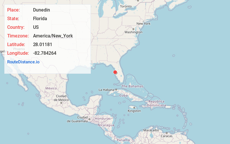
Full AddressDunedin, FL
-
Coordinates28.0118095, -82.7842643
-
LocationDunedin , Florida , US
-
TimezoneAmerica/New_York
-
Current Local Time5:28:53 AM America/New_YorkWednesday, June 18, 2025
-
Website
-
Page Views0
About Dunedin
Dunedin is a city on Florida’s Gulf Coast. It’s known for the beaches, pine forest and ospreys of Honeymoon Island State Park. The island is linked to the mainland by Dunedin Causeway, which offers views over St. Joseph Sound. Downtown, Hammock Park is home to owls, woodpeckers and a butterfly garden. The Fred Marquis Pinellas Trail runs through the city. West, kayaks dot the mangroves of Caladesi Island State Park.


Nearby Places
Found 10 places within 50 miles

Clearwater
3.3 mi
5.3 km
Clearwater, FL
Get directions

Largo
6.5 mi
10.5 km
Largo, FL
Get directions

Town 'N' Country
12.6 mi
20.3 km
Town 'N' Country, FL
Get directions

Pinellas Park
12.8 mi
20.6 km
Pinellas Park, FL
Get directions

Greater Carrollwood
16.8 mi
27.0 km
Greater Carrollwood, FL
Get directions

St. Petersburg
19.1 mi
30.7 km
St. Petersburg, FL
Get directions

Tampa
20.3 mi
32.7 km
Tampa, FL
Get directions

Land O' Lakes
24.5 mi
39.4 km
Land O' Lakes, FL
Get directions

Riverview
30.1 mi
48.4 km
Riverview, FL
Get directions

Wesley Chapel
32.0 mi
51.5 km
Wesley Chapel, FL
Get directions
Location Links
Local Weather
Weather Information
Coming soon!
Location Map
Static map view of Dunedin, Florida
Browse Places by Distance
Places within specific distances from Dunedin
Short Distances
Long Distances
Click any distance to see all places within that range from Dunedin. Distances shown in miles (1 mile ≈ 1.61 kilometers).