Distance to Dunglen, Ohio

Calculating Your Route
Just a moment while we process your request...
Location Information
-
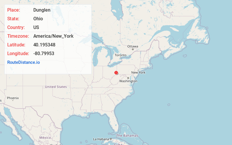
Full AddressDunglen, OH 43917
-
Coordinates40.1953482, -80.7995296
-
LocationDunglen , Ohio , US
-
TimezoneAmerica/New_York
-
Current Local Time2:25:57 PM America/New_YorkTuesday, July 1, 2025
-
Page Views0
About Dunglen
Dunglen is an unincorporated community in Jefferson County, in the U.S. state of Ohio.
Nearby Places
Found 10 places within 50 miles

Dillonvale
1.3 mi
2.1 km
Dillonvale, OH
Get directions
Mt Pleasant
1.4 mi
2.3 km
Mt Pleasant, OH
Get directions
Emerson
1.7 mi
2.7 km
Emerson, OH 43917
Get directions
Pine Valley
1.8 mi
2.9 km
Pine Valley, Smithfield Township, OH 43917
Get directions
Ramsey
1.9 mi
3.1 km
Ramsey, OH 43917
Get directions
Herrick
1.9 mi
3.1 km
Herrick, Smithfield Township, OH 43917
Get directions
Deyarmonville
2.3 mi
3.7 km
Deyarmonville, Warren Township, OH 43917
Get directions
Glen Run
2.8 mi
4.5 km
Glen Run, Warren Township, OH 43943
Get directions
Glen Robbins
3.8 mi
6.1 km
Glen Robbins, OH 43943
Get directions
Morningview
3.9 mi
6.3 km
Morningview, Colerain Township, OH 43935
Get directions
Location Links
Local Weather
Weather Information
Coming soon!
Location Map
Static map view of Dunglen, Ohio
Browse Places by Distance
Places within specific distances from Dunglen
Short Distances
Long Distances
Click any distance to see all places within that range from Dunglen. Distances shown in miles (1 mile ≈ 1.61 kilometers).