Distance to Dunlape Crossroads, South Carolina

Calculating Your Route
Just a moment while we process your request...
Location Information
-
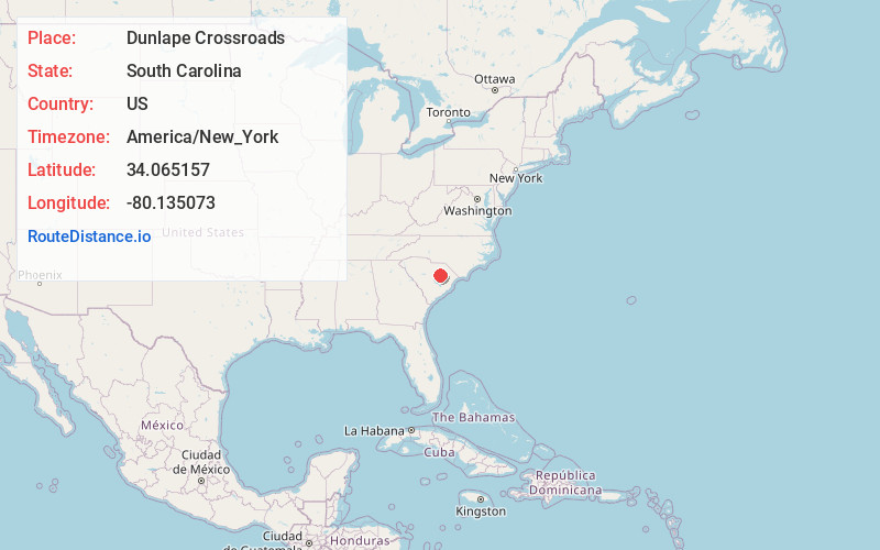
Full AddressDunlape Crossroads, SC 29080
-
Coordinates34.0651567, -80.1350727
-
LocationSouth Carolina , US
-
TimezoneAmerica/New_York
-
Current Local Time11:21:54 AM America/New_YorkSaturday, May 31, 2025
-
Page Views0
Nearby Places
Found 10 places within 50 miles

Elliott
3.3 mi
5.3 km
Elliott, SC
Get directions
St Charles
4.8 mi
7.7 km
St Charles, SC
Get directions

Wisacky
6.6 mi
10.6 km
Wisacky, SC 29010
Get directions

Mayesville
6.8 mi
10.9 km
Mayesville, SC 29104
Get directions

Lamar
8.3 mi
13.4 km
Lamar, SC 29069
Get directions
Oswego
9.6 mi
15.4 km
Oswego, SC
Get directions
Shiloh
10.2 mi
16.4 km
Shiloh, SC
Get directions
Ashwood
10.8 mi
17.4 km
Ashwood, SC
Get directions
Manville
11.4 mi
18.3 km
Manville, SC 29010
Get directions

Timmonsville
12.2 mi
19.6 km
Timmonsville, SC 29161
Get directions
Location Links
Local Weather
Weather Information
Coming soon!
Location Map
Static map view of Dunlape Crossroads, South Carolina
Browse Places by Distance
Places within specific distances from Dunlape Crossroads
Short Distances
Long Distances
Click any distance to see all places within that range from Dunlape Crossroads. Distances shown in miles (1 mile ≈ 1.61 kilometers).