Distance to Dunlo, Pennsylvania

Calculating Your Route
Just a moment while we process your request...
Location Information
-
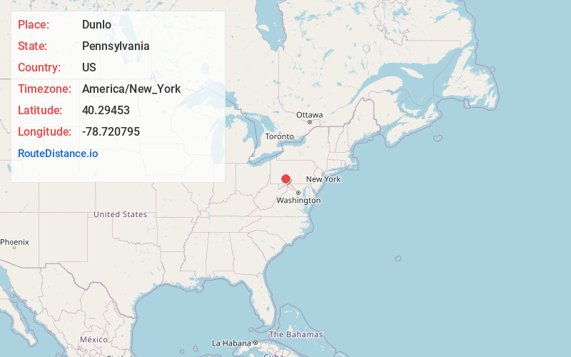
Full AddressDunlo, PA
-
Coordinates40.2945297, -78.7207952
-
LocationDunlo , Pennsylvania , US
-
TimezoneAmerica/New_York
-
Current Local Time1:47:30 PM America/New_YorkTuesday, July 1, 2025
-
Page Views0
About Dunlo
Dunlo is an unincorporated community and census-designated place in Adams Township, Cambria County, Pennsylvania, United States. It is located between the communities of Beaverdale and Salix, in the valley of Sulphur Creek, a tributary of the Little Conemaugh River.
Nearby Places
Found 10 places within 50 miles

Salix
2.1 mi
3.4 km
Salix, PA
Get directions
Beaverdale
2.2 mi
3.5 km
Beaverdale, PA
Get directions
Croyle Township
4.9 mi
7.9 km
Croyle Township, PA
Get directions
University of Pittsburgh Johnstown
6.1 mi
9.8 km
University of Pittsburgh Johnstown, PA 15904
Get directions
Summerhill
6.1 mi
9.8 km
Summerhill, PA
Get directions

South Fork
6.3 mi
10.1 km
South Fork, PA 15956
Get directions
Spring Hill
6.3 mi
10.1 km
Spring Hill, PA 15946
Get directions

Portage
7.0 mi
11.3 km
Portage, PA
Get directions

Windber
7.1 mi
11.4 km
Windber, PA 15963
Get directions
Scalp Level
7.4 mi
11.9 km
Scalp Level, PA
Get directions
Location Links
Local Weather
Weather Information
Coming soon!
Location Map
Static map view of Dunlo, Pennsylvania
Browse Places by Distance
Places within specific distances from Dunlo
Short Distances
Long Distances
Click any distance to see all places within that range from Dunlo. Distances shown in miles (1 mile ≈ 1.61 kilometers).