Distance to Dunthorpe, Oregon

Calculating Your Route
Just a moment while we process your request...
Location Information
-
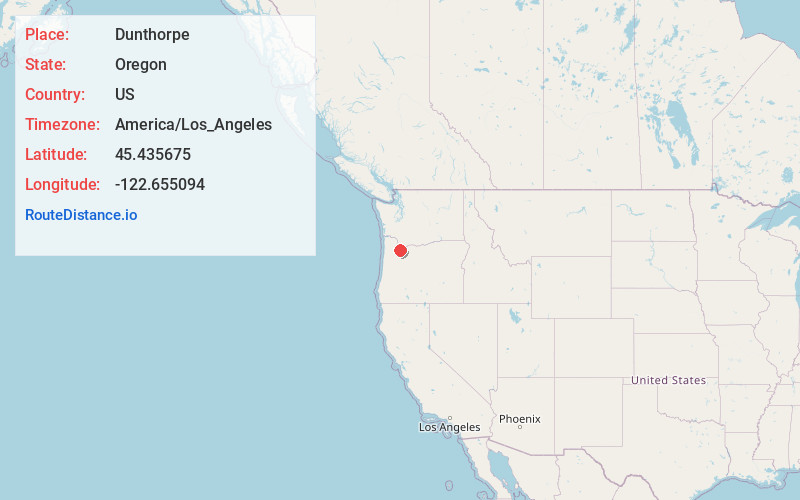
Full AddressDunthorpe, OR
-
Coordinates45.4356748, -122.6550941
-
LocationDunthorpe , Oregon , US
-
TimezoneAmerica/Los_Angeles
-
Current Local Time3:02:01 AM America/Los_AngelesSunday, June 29, 2025
-
Page Views0
About Dunthorpe
Dunthorpe is a census-designated place and unincorporated suburb of Portland, Oregon. It is located just south of the Portland city limits and north of the Multnomah County line on the west side of the Willamette River. Lewis & Clark College, Tryon Creek State Park, and Lake Oswego are nearby.


Nearby Places
Found 10 places within 50 miles

Milwaukie
0.9 mi
1.4 km
Milwaukie, OR
Get directions

Lake Oswego
1.2 mi
1.9 km
Lake Oswego, OR
Get directions

Oak Grove
1.5 mi
2.4 km
Oak Grove, OR
Get directions

Oatfield
3.4 mi
5.5 km
Oatfield, OR
Get directions
Jennings Lodge
3.7 mi
6.0 km
Jennings Lodge, OR
Get directions

Gladstone
4.8 mi
7.7 km
Gladstone, OR
Get directions

West Linn
4.9 mi
7.9 km
West Linn, OR
Get directions

Portland
5.6 mi
9.0 km
Portland, OR
Get directions

Durham
5.7 mi
9.2 km
Durham, OR 97224
Get directions

Tigard
6.0 mi
9.7 km
Tigard, OR
Get directions
Location Links
Local Weather
Weather Information
Coming soon!
Location Map
Static map view of Dunthorpe, Oregon
Browse Places by Distance
Places within specific distances from Dunthorpe
Short Distances
Long Distances
Click any distance to see all places within that range from Dunthorpe. Distances shown in miles (1 mile ≈ 1.61 kilometers).