Distance to DuPont, Washington

Calculating Your Route
Just a moment while we process your request...
Location Information
-
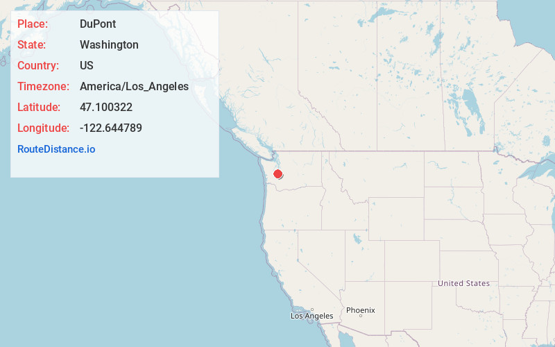
Full AddressDuPont, WA 98327
-
Coordinates47.1003223, -122.6447891
-
LocationDuPont , Washington , US
-
TimezoneAmerica/Los_Angeles
-
Current Local Time12:00:43 PM America/Los_AngelesMonday, May 19, 2025
-
Page Views0
About DuPont
DuPont is a city in Pierce County, Washington, United States. The population was 10,151 at the 2020 census. Originally a company town, the city is named after the DuPont chemical company which operated an explosives manufacturing plant in the area from 1909 to 1975.


Nearby Places
Found 10 places within 50 miles

Fort Lewis
3.0 mi
4.8 km
Fort Lewis, WA
Get directions

Lakewood
7.7 mi
12.4 km
Lakewood, WA
Get directions

Lacey
9.5 mi
15.3 km
Lacey, WA
Get directions

Spanaway
9.9 mi
15.9 km
Spanaway, WA
Get directions

Parkland
10.6 mi
17.1 km
Parkland, WA
Get directions

Yelm
11.1 mi
17.9 km
Yelm, WA
Get directions

Elk Plain
12.1 mi
19.5 km
Elk Plain, WA
Get directions

Olympia
12.4 mi
20.0 km
Olympia, WA
Get directions

Frederickson
13.5 mi
21.7 km
Frederickson, WA
Get directions
Artondale
13.8 mi
22.2 km
Artondale, WA 98335
Get directions
Location Links
Local Weather
Weather Information
Coming soon!
Location Map
Static map view of DuPont, Washington
Browse Places by Distance
Places within specific distances from DuPont
Short Distances
Long Distances
Click any distance to see all places within that range from DuPont. Distances shown in miles (1 mile ≈ 1.61 kilometers).