Distance to Dupuyer, Montana

Calculating Your Route
Just a moment while we process your request...
Location Information
-
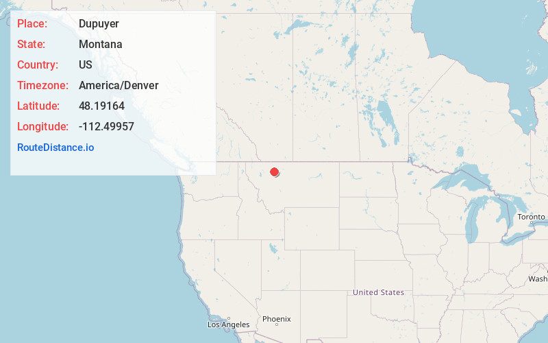
Full AddressDupuyer, MT 59486
-
Coordinates48.1916399, -112.4995702
-
LocationDupuyer , Montana , US
-
TimezoneAmerica/Denver
-
Current Local Time1:47:08 PM America/DenverSaturday, June 14, 2025
-
Page Views0
About Dupuyer
Dupuyer is a census-designated place and unincorporated community in Pondera County, Montana, United States. Its population was 86 as of the 2010 census. The community is located along U.S. Route 89 and Dupuyer Creek. Dupuyer has a post office with ZIP code 59432.


Nearby Places
Found 10 places within 50 miles

New Miami Colony
10.0 mi
16.1 km
New Miami Colony, MT
Get directions
Valier
14.0 mi
22.5 km
Valier, MT
Get directions

Heart Butte
16.8 mi
27.0 km
Heart Butte, MT
Get directions

Conrad
25.6 mi
41.2 km
Conrad, MT 59425
Get directions

Choteau
30.0 mi
48.3 km
Choteau, MT
Get directions

Cut Bank
31.5 mi
50.7 km
Cut Bank, MT 59427
Get directions
South Browning
34.1 mi
54.9 km
South Browning, MT 59417
Get directions

Browning
34.5 mi
55.5 km
Browning, MT 59417
Get directions

North Browning
35.1 mi
56.5 km
North Browning, MT 59417
Get directions

Shelby
36.7 mi
59.1 km
Shelby, MT 59474
Get directions
Location Links
Local Weather
Weather Information
Coming soon!
Location Map
Static map view of Dupuyer, Montana
Browse Places by Distance
Places within specific distances from Dupuyer
Short Distances
Long Distances
Click any distance to see all places within that range from Dupuyer. Distances shown in miles (1 mile ≈ 1.61 kilometers).