Distance to Dyer, Nevada

Calculating Your Route
Just a moment while we process your request...
Location Information
-
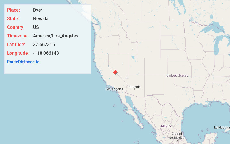
Full AddressDyer, NV 89010
-
Coordinates37.6673151, -118.0661434
-
LocationDyer , Nevada , US
-
TimezoneAmerica/Los_Angeles
-
Current Local Time8:32:47 PM America/Los_AngelesThursday, June 19, 2025
-
Page Views0
About Dyer
Dyer is a census-designated place located in Fish Lake Valley, Esmeralda County, Nevada, United States. It had a population of 324 as of the 2018 American Community Survey. The town serves the surrounding area's sparse rural population of mainly ranchers and indigenous Paiute people.


Nearby Places
Found 10 places within 50 miles

Chalfant
19.2 mi
30.9 km
Chalfant, CA 93514
Get directions

Benton
24.8 mi
39.9 km
Benton, CA 93512
Get directions

Dixon Lane-Meadow Creek
27.6 mi
44.4 km
Dixon Lane-Meadow Creek, CA 93514
Get directions

Bishop
27.8 mi
44.7 km
Bishop, CA 93514
Get directions

West Bishop
30.0 mi
48.3 km
West Bishop, CA 93514
Get directions

Mesa
31.3 mi
50.4 km
Mesa, CA 93514
Get directions

Wilkerson
31.8 mi
51.2 km
Wilkerson, CA 93514
Get directions

Swall Meadows
33.3 mi
53.6 km
Swall Meadows, CA 93514
Get directions

Round Valley
33.3 mi
53.6 km
Round Valley, CA 93514
Get directions

Big Pine
36.8 mi
59.2 km
Big Pine, CA
Get directions
Location Links
Local Weather
Weather Information
Coming soon!
Location Map
Static map view of Dyer, Nevada
Browse Places by Distance
Places within specific distances from Dyer
Short Distances
Long Distances
Click any distance to see all places within that range from Dyer. Distances shown in miles (1 mile ≈ 1.61 kilometers).