Distance to Dynamite, Washington

Calculating Your Route
Just a moment while we process your request...
Location Information
-
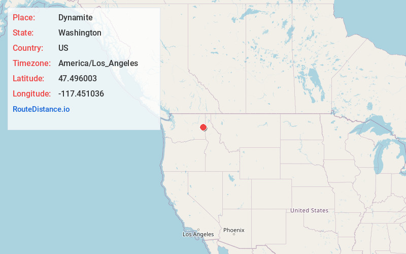
Full AddressDynamite, WA 99004
-
Coordinates47.4960034, -117.4510362
-
LocationDynamite , Washington , US
-
TimezoneAmerica/Los_Angeles
-
Current Local Time2:03:41 AM America/Los_AngelesTuesday, June 17, 2025
-
Page Views0
About Dynamite
Dynamite is a small unincorporated community in Spokane County, Washington, United States. The elevation of Dynamite is 2,333 feet. It is located about 13 miles south of Downtown Spokane in the Channeled Scablands.
Nearby Places
Found 10 places within 50 miles

Spangle
5.8 mi
9.3 km
Spangle, WA 99031
Get directions

Cheney
5.9 mi
9.5 km
Cheney, WA 99004
Get directions

Four Lakes
8.1 mi
13.0 km
Four Lakes, WA 99004
Get directions

Freedom
8.9 mi
14.3 km
Freedom, WA 99031
Get directions

Valleyford
10.3 mi
16.6 km
Valleyford, WA
Get directions
Geib
10.7 mi
17.2 km
Geib, WA 99004
Get directions

Spokane
11.3 mi
18.2 km
Spokane, WA
Get directions
Mica
11.9 mi
19.2 km
Mica, WA 99023
Get directions

Freeman
12.0 mi
19.3 km
Freeman, WA 99036
Get directions

Medical Lake
12.0 mi
19.3 km
Medical Lake, WA 99022
Get directions
Location Links
Local Weather
Weather Information
Coming soon!
Location Map
Static map view of Dynamite, Washington
Browse Places by Distance
Places within specific distances from Dynamite
Short Distances
Long Distances
Click any distance to see all places within that range from Dynamite. Distances shown in miles (1 mile ≈ 1.61 kilometers).