Distance to Eagle Bridge, New York

Calculating Your Route
Just a moment while we process your request...
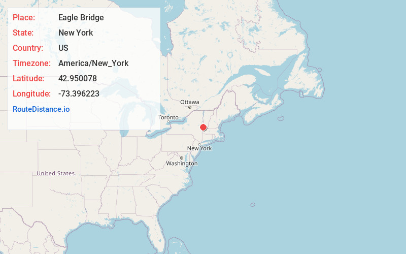
Location Information
-
Full AddressEagle Bridge, NY 12028
-
Coordinates42.9500778, -73.3962234
-
LocationEagle Bridge , New York , US
-
TimezoneAmerica/New_York
-
Current Local Time7:40:49 AM America/New_YorkSaturday, June 7, 2025
-
Page Views0
About Eagle Bridge
Eagle Bridge is a hamlet in Rensselaer County, New York, United States.
Eagle Bridge is also the name used by the United States Postal Service to identify ZIP code 12057.


Nearby Places
Found 10 places within 50 miles

Center White Creek
1.7 mi
2.7 km
Center White Creek, White Creek, NY 12057
Get directions
West Hoosick
3.8 mi
6.1 km
West Hoosick, Hoosick, NY 12090
Get directions

Hoosick Falls
4.1 mi
6.6 km
Hoosick Falls, NY 12090
Get directions
Southwest Hoosick
5.3 mi
8.5 km
Southwest Hoosick, Hoosick, NY 12090
Get directions

Cambridge
5.4 mi
8.7 km
Cambridge, NY 12816
Get directions
Fly Summit
6.2 mi
10.0 km
Fly Summit, Cambridge, NY 12834
Get directions
East Hoosick
6.5 mi
10.5 km
East Hoosick, Hoosick, NY 12090
Get directions
Pumpkin Hook
6.9 mi
11.1 km
Pumpkin Hook, White Creek, NY 12816
Get directions

Hoosick
7.0 mi
11.3 km
Hoosick, NY
Get directions
Potter Hill
7.2 mi
11.6 km
Potter Hill, Hoosick, NY 12090
Get directions
Location Links
Local Weather
Weather Information
Coming soon!
Location Map
Static map view of Eagle Bridge, New York
Browse Places by Distance
Places within specific distances from Eagle Bridge
Short Distances
Long Distances
Click any distance to see all places within that range from Eagle Bridge. Distances shown in miles (1 mile ≈ 1.61 kilometers).