Distance to Eagle Creek Park, Indiana

Calculating Your Route
Just a moment while we process your request...
Location Information
-
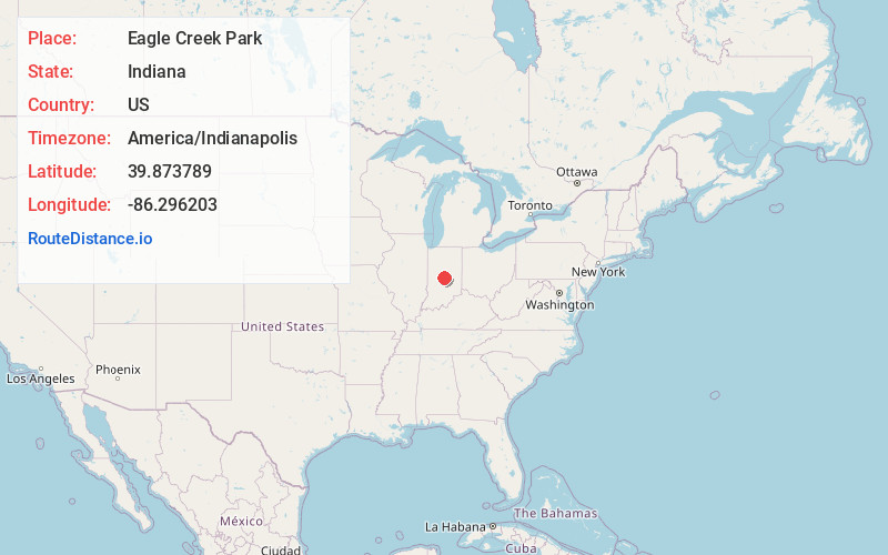
Full AddressEagle Creek Park, 7840 W 56th St, Indianapolis, IN 46254
-
Coordinates39.873789, -86.296203
-
Street7840 W 56th St
-
NeighborhoodEagle Creek
-
LocationIndianapolis , Indiana , US
-
TimezoneAmerica/Indianapolis
-
Page Views1
About Eagle Creek Park
Huge park with marina & beach, hiking & biking trails, wildlife-discovery centers, zip lines & more.


Nearby Places
Found 10 places within 50 miles

Pike Township
2.0 mi
3.2 km
Pike Township, IN
Get directions

Clermont Heights
4.1 mi
6.6 km
Clermont Heights, Lincoln Township, IN 46112
Get directions
Royalton
4.3 mi
6.9 km
Royalton, Zionsville, IN 46077
Get directions
Clermont
4.6 mi
7.4 km
Clermont, IN 46234
Get directions
Brown Township
5.1 mi
8.2 km
Brown Township, IN
Get directions
Russell Lake
5.2 mi
8.4 km
Russell Lake, Zionsville, IN 46077
Get directions
North Augusta Addition
5.2 mi
8.4 km
North Augusta Addition, Carmel, IN 46032
Get directions

Zionsville
5.3 mi
8.5 km
Zionsville, IN
Get directions

Brownsburg
5.8 mi
9.3 km
Brownsburg, IN
Get directions
Wayne Township
6.1 mi
9.8 km
Wayne Township, IN
Get directions
Location Links
Local Weather
Weather Information
Coming soon!
Location Map
Static map view of Eagle Creek Park, Indiana
Browse Places by Distance
Places within specific distances from Eagle Creek Park
Short Distances
Long Distances
Click any distance to see all places within that range from Eagle Creek Park. Distances shown in miles (1 mile ≈ 1.61 kilometers).