Distance to Eagle, Pennsylvania

Calculating Your Route
Just a moment while we process your request...
Location Information
-
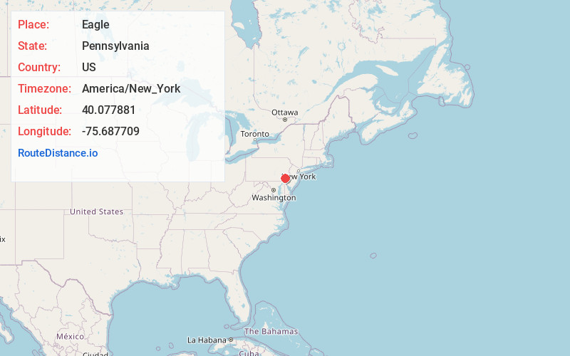
Full AddressEagle, PA
-
Coordinates40.0778812, -75.6877085
-
LocationEagle , Pennsylvania , US
-
TimezoneAmerica/New_York
-
Current Local Time10:25:51 PM America/New_YorkWednesday, June 4, 2025
-
Page Views0
About Eagle
Eagle is an unincorporated community and census-designated place in Upper Uwchlan Township, Chester County, Pennsylvania, United States. As of 2020, Eagle had a population of 498.


Nearby Places
Found 10 places within 50 miles

Upper Uwchlan Township
0.8 mi
1.3 km
Upper Uwchlan Township, PA
Get directions

Eagleview
1.3 mi
2.1 km
Eagleview, PA
Get directions

Uwchlan Township
2.4 mi
3.9 km
Uwchlan Township, PA
Get directions
West Pikeland Township
3.0 mi
4.8 km
West Pikeland Township, PA 19425
Get directions
Lionville
3.4 mi
5.5 km
Lionville, PA 19341
Get directions
East Nantmeal
3.8 mi
6.1 km
East Nantmeal, PA 19343
Get directions

West Vincent Township
4.2 mi
6.8 km
West Vincent Township, PA
Get directions

East Brandywine Township
4.4 mi
7.1 km
East Brandywine Township, PA 19335
Get directions

Exton
4.5 mi
7.2 km
Exton, PA 19341
Get directions
Wallace Township
4.5 mi
7.2 km
Wallace Township, PA
Get directions
Location Links
Local Weather
Weather Information
Coming soon!
Location Map
Static map view of Eagle, Pennsylvania
Browse Places by Distance
Places within specific distances from Eagle
Short Distances
Long Distances
Click any distance to see all places within that range from Eagle. Distances shown in miles (1 mile ≈ 1.61 kilometers).