Distance to Eagleville, California

Calculating Your Route
Just a moment while we process your request...
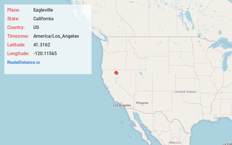
Location Information
-
Full AddressEagleville, CA 96110
-
Coordinates41.3161995, -120.1156498
-
LocationEagleville , California , US
-
TimezoneAmerica/Los_Angeles
-
Current Local Time2:12:49 PM America/Los_AngelesWednesday, June 18, 2025
-
Page Views0
About Eagleville
Eagleville is a census-designated place in Modoc County, California. It is located 25 miles east-southeast of Alturas, at an elevation of 4642 feet. Its population is 45 as of the 2020 census, down from 59 from the 2010 census.
Located in Surprise Valley, Eagleville is a small community south of Cedarville.


Nearby Places
Found 9 places within 50 miles

Cedarville
15.0 mi
24.1 km
Cedarville, CA 96104
Get directions

Alturas
25.1 mi
40.4 km
Alturas, CA 96101
Get directions

Daphnedale Park
25.9 mi
41.7 km
Daphnedale Park, CA 96101
Get directions

Madeline
26.2 mi
42.2 km
Madeline, CA 96119
Get directions

California Pines
29.2 mi
47.0 km
California Pines, CA
Get directions

Fort Bidwell
37.7 mi
60.7 km
Fort Bidwell, CA 96112
Get directions

Canby
40.1 mi
64.5 km
Canby, CA 96015
Get directions

Adin
43.9 mi
70.7 km
Adin, CA 96006
Get directions
New Pine Creek
47.2 mi
76.0 km
New Pine Creek, CA 97635
Get directions
Location Links
Local Weather
Weather Information
Coming soon!
Location Map
Static map view of Eagleville, California
Browse Places by Distance
Places within specific distances from Eagleville
Short Distances
Long Distances
Click any distance to see all places within that range from Eagleville. Distances shown in miles (1 mile ≈ 1.61 kilometers).