Distance to Eagleville, Missouri

Calculating Your Route
Just a moment while we process your request...
Location Information
-
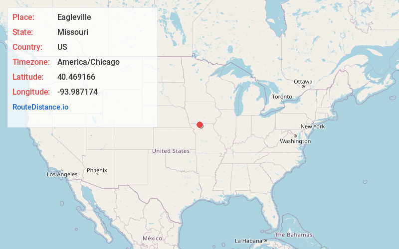
Full AddressEagleville, MO 64442
-
Coordinates40.4691664, -93.9871736
-
LocationEagleville , Missouri , US
-
TimezoneAmerica/Chicago
-
Current Local Time3:06:39 AM America/ChicagoWednesday, June 18, 2025
-
Website
-
Page Views0
About Eagleville
Eagleville is a village in northern Harrison County, Missouri, United States. The population was 275 at the 2020 census.


Nearby Places
Found 10 places within 50 miles

Blythedale
3.2 mi
5.1 km
Blythedale, MO 64426
Get directions

Ridgeway
6.8 mi
10.9 km
Ridgeway, MO 64481
Get directions

Lamoni
11.0 mi
17.7 km
Lamoni, IA
Get directions

Bethany
14.0 mi
22.5 km
Bethany, MO 64424
Get directions

Mt Ayr
21.4 mi
34.4 km
Mt Ayr, IA 50854
Get directions
Princeton
21.9 mi
35.2 km
Princeton, MO 64673
Get directions
Grant City
22.3 mi
35.9 km
Grant City, MO 64456
Get directions

Leon
22.5 mi
36.2 km
Leon, IA 50144
Get directions
Gilman City
23.4 mi
37.7 km
Gilman City, MO 64642
Get directions

Albany
23.7 mi
38.1 km
Albany, MO 64402
Get directions
Location Links
Local Weather
Weather Information
Coming soon!
Location Map
Static map view of Eagleville, Missouri
Browse Places by Distance
Places within specific distances from Eagleville
Short Distances
Long Distances
Click any distance to see all places within that range from Eagleville. Distances shown in miles (1 mile ≈ 1.61 kilometers).