Distance to Eakles Mill, Maryland

Calculating Your Route
Just a moment while we process your request...
Location Information
-
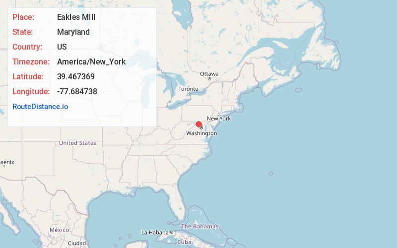
Full AddressEakles Mill, MD 21756
-
Coordinates39.467369, -77.684738
-
LocationEakles Mill , Maryland , US
-
TimezoneAmerica/New_York
-
Current Local Time11:40:24 AM America/New_YorkWednesday, June 18, 2025
-
Page Views0
About Eakles Mill
Eakles Mills is an unincorporated community in Washington County, Maryland, United States. Its population was 26 as of the 2020 census. Snively Farm was listed on the National Register of Historic Places in 1979.
Nearby Places
Found 10 places within 50 miles

Keedysville
1.5 mi
2.4 km
Keedysville, MD
Get directions

Rohrersville Station
2.5 mi
4.0 km
Rohrersville Station, Trego-Rohrersville Station, MD 21756
Get directions

Rohrersville
2.6 mi
4.2 km
Rohrersville, MD
Get directions

Boonsboro
3.2 mi
5.1 km
Boonsboro, MD 21713
Get directions

Sharpsburg
3.5 mi
5.6 km
Sharpsburg, MD 21782
Get directions
Gapland
4.6 mi
7.4 km
Gapland, MD 21779
Get directions

Antietam
4.7 mi
7.6 km
Antietam, MD 21782
Get directions
Mercersville
4.9 mi
7.9 km
Mercersville, MD 21782
Get directions
Mapleville
5.2 mi
8.4 km
Mapleville, MD 21713
Get directions
Fairplay
5.8 mi
9.3 km
Fairplay, MD
Get directions
Location Links
Local Weather
Weather Information
Coming soon!
Location Map
Static map view of Eakles Mill, Maryland
Browse Places by Distance
Places within specific distances from Eakles Mill
Short Distances
Long Distances
Click any distance to see all places within that range from Eakles Mill. Distances shown in miles (1 mile ≈ 1.61 kilometers).