Distance to Earl, Wisconsin

Calculating Your Route
Just a moment while we process your request...
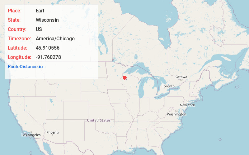
Location Information
-
Full AddressEarl, WI 54875
-
Coordinates45.910556, -91.760278
-
LocationEarl , Wisconsin , US
-
TimezoneAmerica/Chicago
-
Current Local Time1:05:23 AM America/ChicagoThursday, June 19, 2025
-
Page Views0
About Earl
Earl is an unincorporated community located in the town of Springbrook, Washburn County, Wisconsin, United States. Earl is located at the junction of U.S. Route 63 and County Highway E 8.5 miles northeast of Spooner; the Wisconsin Great Northern Railroad runs through the community.


Nearby Places
Found 10 places within 50 miles

Trego
3.3 mi
5.3 km
Trego, WI 54888
Get directions

Springbrook
4.3 mi
6.9 km
Springbrook, WI 54875
Get directions

Lampson
5.7 mi
9.2 km
Lampson, WI 54888
Get directions

Spooner
8.7 mi
14.0 km
Spooner, WI 54801
Get directions

Stanberry
9.3 mi
15.0 km
Stanberry, WI 54875
Get directions

Stone Lake
11.5 mi
18.5 km
Stone Lake, WI 54876
Get directions

Beaver Brook
11.5 mi
18.5 km
Beaver Brook, WI 54871
Get directions

Minong
13.4 mi
21.6 km
Minong, WI 54859
Get directions

Shell Lake
14.3 mi
23.0 km
Shell Lake, WI 54871
Get directions

Namekagon River
14.4 mi
23.2 km
Namekagon River, Wisconsin
Get directions
Location Links
Local Weather
Weather Information
Coming soon!
Location Map
Static map view of Earl, Wisconsin
Browse Places by Distance
Places within specific distances from Earl
Short Distances
Long Distances
Click any distance to see all places within that range from Earl. Distances shown in miles (1 mile ≈ 1.61 kilometers).