Distance to East Chatham, New York

Calculating Your Route
Just a moment while we process your request...
Location Information
-
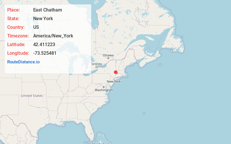
Full AddressEast Chatham, NY
-
Coordinates42.411223, -73.525481
-
LocationEast Chatham , New York , US
-
TimezoneAmerica/New_York
-
Current Local Time5:07:41 PM America/New_YorkMonday, June 2, 2025
-
Page Views0
About East Chatham
East Chatham is a hamlet located partly in the town of Chatham and partly in the town of Canaan, in the state of New York, United States. It is located at the crossroads of a railroad, Interstate 90, and the Taconic State Parkway.
Nearby Places
Found 10 places within 50 miles

Old Chatham
2.8 mi
4.5 km
Old Chatham, NY 12136
Get directions
Rayville
3.7 mi
6.0 km
Rayville, Chatham, NY 12136
Get directions
Red Rock
3.8 mi
6.1 km
Red Rock, NY 12060
Get directions

Chatham
4.8 mi
7.7 km
Chatham, NY 12037
Get directions
Queechy
5.3 mi
8.5 km
Queechy, Canaan, NY 12029
Get directions

Arnolds Mill
6.0 mi
9.7 km
Arnolds Mill, NY 12037
Get directions
Buckleyville
6.1 mi
9.8 km
Buckleyville, Ghent, NY 12037
Get directions

Spencertown
6.2 mi
10.0 km
Spencertown, NY
Get directions

New Lebanon Center
6.7 mi
10.8 km
New Lebanon Center, NY 12125
Get directions
East Nassau
6.7 mi
10.8 km
East Nassau, NY
Get directions
Location Links
Local Weather
Weather Information
Coming soon!
Location Map
Static map view of East Chatham, New York
Browse Places by Distance
Places within specific distances from East Chatham
Short Distances
Long Distances
Click any distance to see all places within that range from East Chatham. Distances shown in miles (1 mile ≈ 1.61 kilometers).