Distance to East Cleveland, Tennessee

Calculating Your Route
Just a moment while we process your request...
Location Information
-
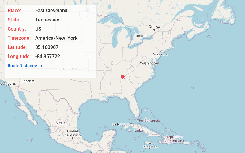
Full AddressEast Cleveland, TN
-
Coordinates35.1609071, -84.8577219
-
LocationEast Cleveland , Tennessee , US
-
TimezoneAmerica/New_York
-
Current Local Time8:27:09 AM America/New_YorkTuesday, June 3, 2025
-
Page Views0
About East Cleveland
East Cleveland is a census-designated place and community in Bradley County, Tennessee, United States. As indicated by its name, it is located directly east of the city limits of Cleveland, and is also considered one of the major divisions of the city. The population was 1,725 at the 2020 census.
Nearby Places
Found 10 places within 50 miles

Cleveland
1.1 mi
1.8 km
Cleveland, TN
Get directions

South Cleveland
4.2 mi
6.8 km
South Cleveland, TN
Get directions

Wildwood Lake
4.8 mi
7.7 km
Wildwood Lake, TN 37323
Get directions

Hopewell
6.0 mi
9.7 km
Hopewell, TN 37312
Get directions

Collegedale
13.2 mi
21.2 km
Collegedale, TN
Get directions

Apison
13.3 mi
21.4 km
Apison, TN
Get directions

Harrison
16.2 mi
26.1 km
Harrison, TN
Get directions

Middle Valley
18.6 mi
29.9 km
Middle Valley, TN 37343
Get directions

Varnell
19.1 mi
30.7 km
Varnell, GA
Get directions

Soddy-Daisy
19.5 mi
31.4 km
Soddy-Daisy, TN
Get directions
Location Links
Local Weather
Weather Information
Coming soon!
Location Map
Static map view of East Cleveland, Tennessee
Browse Places by Distance
Places within specific distances from East Cleveland
Short Distances
Long Distances
Click any distance to see all places within that range from East Cleveland. Distances shown in miles (1 mile ≈ 1.61 kilometers).