Distance to East Cook, Minnesota

Calculating Your Route
Just a moment while we process your request...
Location Information
-
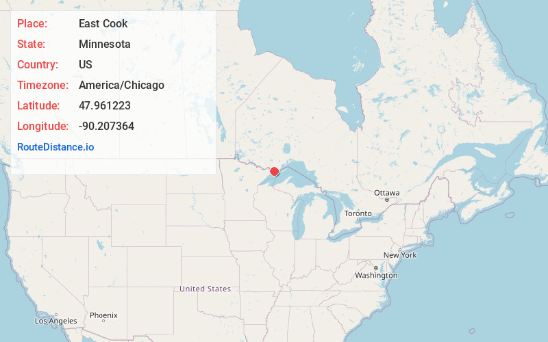
Full AddressEast Cook, MN
-
Coordinates47.961223, -90.2073638
-
LocationEast Cook , Minnesota , US
-
TimezoneAmerica/Chicago
-
Current Local Time3:45:17 AM America/ChicagoSaturday, May 31, 2025
-
Page Views0
About East Cook
East Cook is an unorganized territory in Cook County, Minnesota, United States. The population was 904 at the 2020 census.


Nearby Places
Found 10 places within 50 miles

Maple Hill
11.5 mi
18.5 km
Maple Hill, MN 55604
Get directions
Croftville
13.9 mi
22.4 km
Croftville, MN 55604
Get directions
Chippewa City
14.6 mi
23.5 km
Chippewa City, MN 55604
Get directions

Grand Marais
15.7 mi
25.3 km
Grand Marais, MN 55604
Get directions

Pigeon River
17.0 mi
27.4 km
Pigeon River, Grand Portage, MN
Get directions
Red Rock
21.9 mi
35.2 km
Red Rock, MN 55605
Get directions

Grand Portage
24.2 mi
38.9 km
Grand Portage, MN 55605
Get directions

Lutsen
30.8 mi
49.6 km
Lutsen, MN
Get directions
Bowstring Lake
39.4 mi
63.4 km
Bowstring Lake, Fall Lake Township, MN 55731
Get directions

Tofte
39.6 mi
63.7 km
Tofte, MN 55615
Get directions
Location Links
Local Weather
Weather Information
Coming soon!
Location Map
Static map view of East Cook, Minnesota
Browse Places by Distance
Places within specific distances from East Cook
Short Distances
Long Distances
Click any distance to see all places within that range from East Cook. Distances shown in miles (1 mile ≈ 1.61 kilometers).