Distance to East Dixfield, Maine

Calculating Your Route
Just a moment while we process your request...
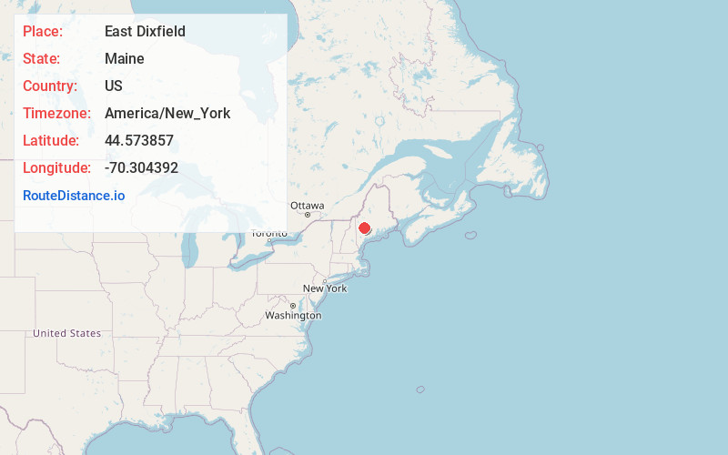
Location Information
-
Full AddressEast Dixfield, Wilton, ME
-
Coordinates44.5738574, -70.3043917
-
NeighborhoodEast Dixfield
-
LocationWilton , Maine , US
-
TimezoneAmerica/New_York
-
Current Local Time5:05:46 PM America/New_YorkTuesday, June 3, 2025
-
Page Views0
About East Dixfield
East Dixfield is an unincorporated village in the towns of Wilton in Franklin County and Dixfield in Oxford County, in the U.S. state of Maine. The community is located along U.S. Route 2 and Maine State Route 17, 10 miles southwest of Farmington. East Dixfield has a post office with ZIP code 04227.
Nearby Places
Found 10 places within 50 miles

Wilton
4.0 mi
6.4 km
Wilton, ME
Get directions

North Jay Granite Quarry Cell Tower
4.5 mi
7.2 km
North Jay Granite Quarry Cell Tower, Jay, ME 04239
Get directions

Jay
6.5 mi
10.5 km
Jay, ME 04239
Get directions

Peru
6.8 mi
10.9 km
Peru, ME
Get directions

Dixfield
8.0 mi
12.9 km
Dixfield, ME 04224
Get directions
Carthage
8.2 mi
13.2 km
Carthage, ME
Get directions
Temple
8.6 mi
13.8 km
Temple, ME
Get directions

Livermore Falls
8.9 mi
14.3 km
Livermore Falls, ME 04254
Get directions

Worthley Pond
9.2 mi
14.8 km
Worthley Pond, Peru, ME 04290
Get directions

Canton
9.2 mi
14.8 km
Canton, ME
Get directions
Location Links
Local Weather
Weather Information
Coming soon!
Location Map
Static map view of East Dixfield, Maine
Browse Places by Distance
Places within specific distances from East Dixfield
Short Distances
Long Distances
Click any distance to see all places within that range from East Dixfield. Distances shown in miles (1 mile ≈ 1.61 kilometers).